
1953 Map of Kelat
USGS Topo · Published 1955About this map
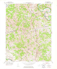
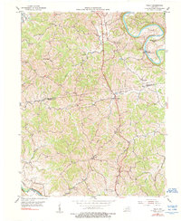
Licking River and its deep oxbows carve the northern boundary of this rural landscape, where the border between Pendleton and Harrison counties is defined by the winding course of Richland Creek. In the early 1950s, the area's social fabric was anchored by numerous small country churches, including Mt Vernon Ch, Antioch Ch, and Benson Ch. The settlement of McKinneysburg sits within a sharp bend of the river, while the village of Kelat serves as a central point in the southern interior. The terrain is a network of ridges and deep drainage branches, such as Snake Lick and Rankin Branch, which flow toward the river systems. Significant landmarks for local history include Old Mt Vernon Ch and Liberty Ridge, illustrating a pattern of upland settlement and spiritual life that persisted through the mid-20th century.
Find a feature on this map
23 named features on this map. Tap any name to fly to it.
Don’t see what you’re looking for? This feature index may not catch every label — zoom into the map to look around manually.
Map Details
Editions of this 1953 Kelat Map
3 editions found
Other maps of this area

1929 · Cynthiana
USGS Topo · 1:48,000

1930 · Falmouth
USGS Topo · 1:48,000

1934 · Cynthiana
USGS Topo · 1:62,500

1936 · Falmouth
USGS Topo · 1:62,500

1952 · Berlin
USGS Topo · 1:24,000

1952 · Shady Nook
USGS Topo · 1:24,000

1952 · Claysville
USGS Topo · 1:24,000

1953 · Berry
USGS Topo · 1:24,000

1953 · Breckinridge
USGS Topo · 1:24,000
1953 · Cynthiana
USGS Topo · 1:24,000