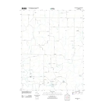
2012 Map of Kellerville
USGS Topo · Published 2012About this map
Siloam Springs State Park dominates the southeastern quadrant of this Adams County landscape, where the waters of Crabapple Lake and Little-Missouri Creek gather near the settlement of Siloam. The terrain is deeply etched by a network of waterways including Walnut Fork, Purpus Creek, and McKee Creek, creating a drainage pattern that has historically shaped local land use and travel.
Find a feature on this map
86 named features on this map. Tap any name to fly to it.
Don’t see what you’re looking for? This feature index may not catch every label — zoom into the map to look around manually.
Map Details
Editions of this 2012 Kellerville Map
This is the sole edition of this map. No revisions or reprints were ever made.
Other maps of this area

1925 · Liberty
USGS Topo · 1:62,500

1926 · Mt Sterling
USGS Topo · 1:62,500

1927 · Liberty
USGS Topo · 1:62,500

1929 · Mt Sterling
USGS Topo · 1:62,500

1946 · Augusta
USGS Topo · 1:62,500

1948 · Quincy
USGS Topo · 1:250,000

1948 · Camp Point
USGS Topo · 1:62,500

1949 · Augusta
USGS Topo · 1:62,500

1956 · Quincy
USGS Topo · 1:250,000

1958 · Burlington
USGS Topo · 1:250,000