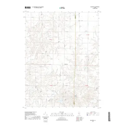
2018 Map of Kellerville
USGS Topo · Published 2018About this map
Kellerville and the nearby village of Siloam serve as the primary human anchors in this rural landscape straddling the line between Adams and Brown counties. The terrain is deeply defined by the branching hydrography of McKee Creek, Walnut Fork, and Little Missouri Cr, which create a complex network of ridges and drainages. A high density of small family and community burial grounds, such as Higley Family Cem, Dunkard Cem, and Amen Cem, suggests a long history of local settlement and genealogical depth throughout the township.
Find a feature on this map
78 named features on this map. Tap any name to fly to it.
Don’t see what you’re looking for? This feature index may not catch every label — zoom into the map to look around manually.
Map Details
Editions of this 2018 Kellerville Map
This is the sole edition of this map. No revisions or reprints were ever made.
Other maps of this area

1925 · Liberty
USGS Topo · 1:62,500

1926 · Mt Sterling
USGS Topo · 1:62,500

1927 · Liberty
USGS Topo · 1:62,500

1929 · Mt Sterling
USGS Topo · 1:62,500

1946 · Augusta
USGS Topo · 1:62,500

1948 · Quincy
USGS Topo · 1:250,000

1948 · Camp Point
USGS Topo · 1:62,500

1949 · Augusta
USGS Topo · 1:62,500

1956 · Quincy
USGS Topo · 1:250,000

1958 · Burlington
USGS Topo · 1:250,000