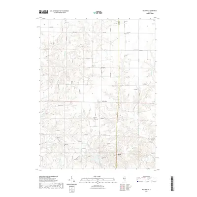
2021 Map of Kellerville
USGS Topo · Published 2021About this map
Kellerville and Siloam anchor this rural landscape along the boundary between Adams and Brown Counties. The terrain is defined by a dense network of creek valleys, where Walnut Fork and Purpus Cr feed into the larger winding course of McKee Creek to the south. This area is notably dense with small family and community burial grounds, reflecting generations of local settlement. Among these sites are the Higley Family Cem, Amen Cem, and the unique Sloan Springs A M School Cem located near Sloan Springs. The southern portion of the quadrangle includes Crabapple Lake and the nearby Burden Cem, showing how the geography of local water sources like Crabapple Cr and Grindstone Cr influenced the placement of early homesteads and social centers.
Find a feature on this map
79 named features on this map. Tap any name to fly to it.
Don’t see what you’re looking for? This feature index may not catch every label — zoom into the map to look around manually.
Map Details
Editions of this 2021 Kellerville Map
This is the sole edition of this map. No revisions or reprints were ever made.
Other maps of this area

1925 · Liberty
USGS Topo · 1:62,500

1926 · Mt Sterling
USGS Topo · 1:62,500

1927 · Liberty
USGS Topo · 1:62,500

1929 · Mt Sterling
USGS Topo · 1:62,500

1946 · Augusta
USGS Topo · 1:62,500

1948 · Quincy
USGS Topo · 1:250,000

1948 · Camp Point
USGS Topo · 1:62,500

1949 · Augusta
USGS Topo · 1:62,500

1956 · Quincy
USGS Topo · 1:250,000

1958 · Burlington
USGS Topo · 1:250,000