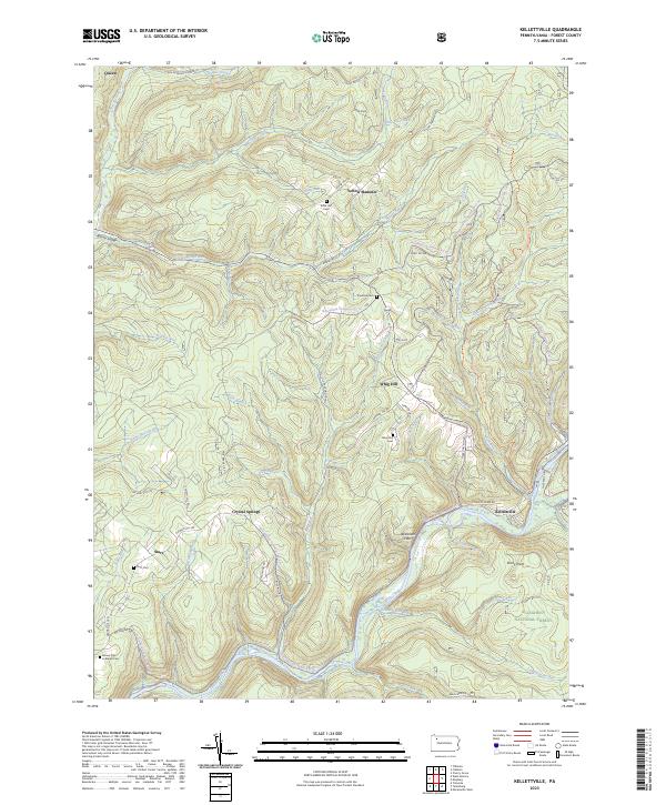
2023 Map of Kellettville
USGS Topo · Published 2023About this map
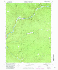
Allegheny National Forest encompasses the high plateaus and deep-cut stream valleys of this Forest County landscape, where small crossroads settlements and family burial grounds remain central to the geography. The winding course of Tionesta Creek serves as a primary corridor, passing the village of Kellettville and the alluvial grounds at Newtown Flats. Cultural history is traced through numerous isolated cemeteries such as Starr Cem, Whig Hill Cem, and Kiffer Hill Cem, often associated with nearby hamlets like Starr and Yellow Hammer. Modern recreation is overlaid on this legacy, with the North Country National Scenic Trail and various snowmobile loops threading through the timberland. An Old Railroad Grade near Ross Run points to the area's industrial past, while the rugged terrain is defined by landmarks like Whig Hill and Stony Point.
Find a feature on this map
64 named features on this map. Tap any name to fly to it.
Don’t see what you’re looking for? This feature index may not catch every label — zoom into the map to look around manually.
Map Details
Editions of this 2023 Kellettville Map
This is the sole edition of this map. No revisions or reprints were ever made.
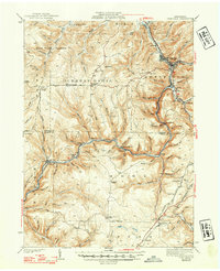
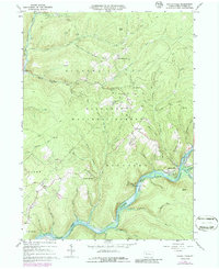
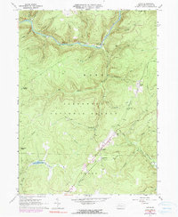
Historical Maps of Kellettville Through Time
18 maps found

1918 Loleta
Forest County, PA

1935 Sheffield
Forest County, PA
1941 Sheffield
Forest County, PA
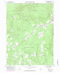
1966 Kellettville
Forest County, PA
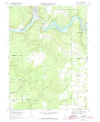
1966 Lynch
Forest County, PA
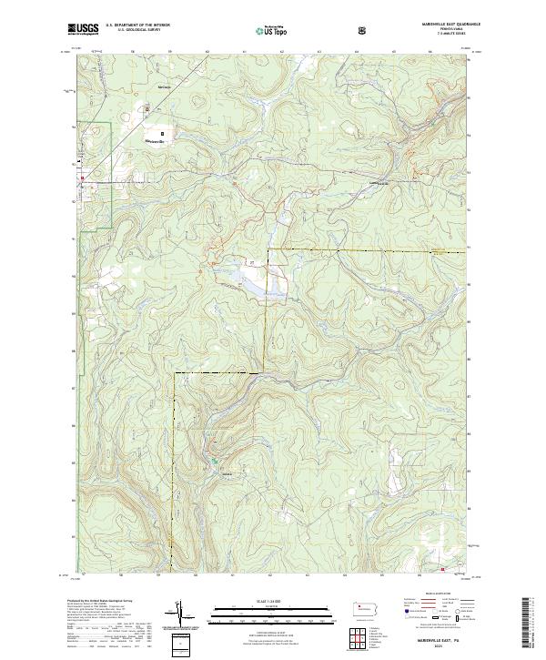
1966 Mayburg
Forest County, PA
1966 West Hickory
Forest County, PA
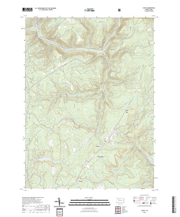
1967 Marienville East
Forest County, PA
1967 Marienville West
Forest County, PA
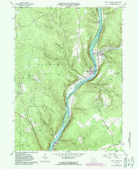
1967 Tionesta
Forest County, PA

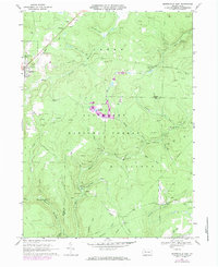
1997 West Hickory
Forest County, PA
2023 Kellettville
Forest County, PA
2023 Lynch
Forest County, PA
2023 Marienville East
Forest County, PA

2023 Marienville West
Forest County, PA
2023 Mayburg
Forest County, PA
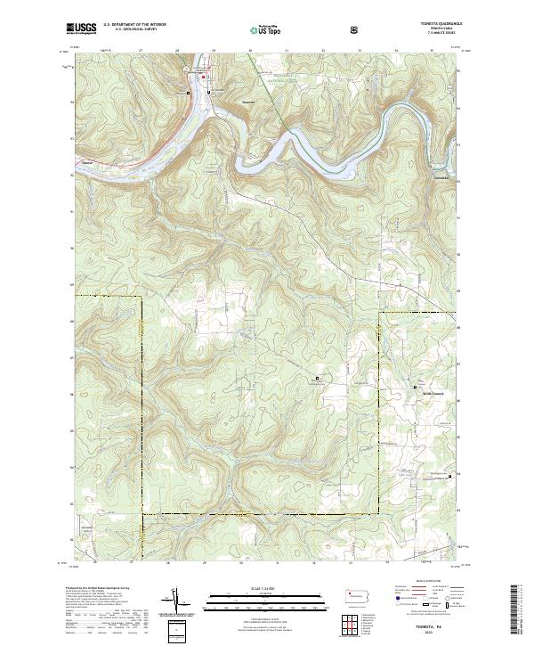
2023 Tionesta
Forest County, PA
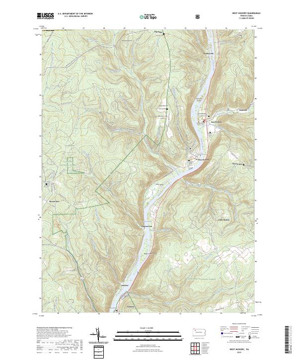
2023 West Hickory
Forest County, PA
Featured Locations
- Green Township, PA
- Hickory Township, PA
- Kingsley Township, PA
- Yellow Hammer, Hickory Township
- Starr, Kingsley Township