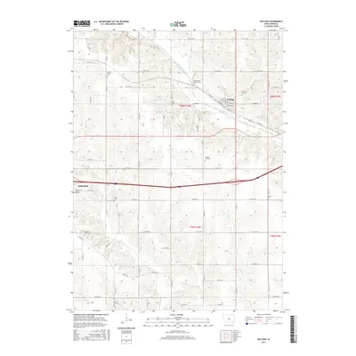
2015 Map of Kellogg
USGS Topo · Published 2015About this map
The North Skunk River meanders across this portion of Jasper County, defining the drainage patterns for numerous tributaries like Burr Oak Cr, Coon Cr, and Slater Cr. The landscape is a study in Iowa's rural social history, marked by a high density of small burial grounds that often indicate the locations of former communities or pioneer church sites. This includes the Old German Lutheran Cem and Center Friends Cem, which reflect the diverse denominational heritage of early settlers in the region.
Find a feature on this map
72 named features on this map. Tap any name to fly to it.
Don’t see what you’re looking for? This feature index may not catch every label — zoom into the map to look around manually.
Map Details
Editions of this 2015 Kellogg Map
This is the sole edition of this map. No revisions or reprints were ever made.
Other maps of this area

1954 · Des Moines
USGS Topo · 1:250,000

1956 · Des Moines
USGS Topo · 1:250,000

1957 · Des Moines
USGS Topo · 1:250,000

1965 · Newton
USGS Topo · 1:24,000

1965 · Monroe
USGS Topo · 1:24,000

1969 · Des Moines
USGS Topo · 1:250,000

1975 · Baxter SE
USGS Topo · 1:24,000

1980 · Newburg
USGS Topo · 1:24,000

1980 · Sully
USGS Topo · 1:24,000
1980 · Alloway Creek
USGS Topo · 1:24,000