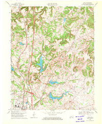
1969 Map of Kelly
USGS Topo · Published 1971About this map
The northern reaches of Hopkinsville and the community of Kelly anchor this late 1960s study of the Christian County landscape. The area is defined by a series of engineered reservoirs including Lake Morris, Lake Tandy, and Lake Boxley, which disrupt the natural flow of Upper Branch and Lower Branch. Industrial activity is evident near the city limits, marked by a Quarry and a Mine Dump, while the higher ground to the north is dotted with several active Oil Wells.
Find a feature on this map
36 named features on this map. Tap any name to fly to it.
Don’t see what you’re looking for? This feature index may not catch every label — zoom into the map to look around manually.
Map Details
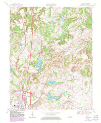
Editions of this 1969 Kelly Map
2 editions found
Other maps of this area

1909 · Dawson Springs
USGS Topo · 1:48,000

1911 · Dawson Springs
USGS Topo · 1:62,500

1912 · Nortonville
USGS Topo · 1:62,500

1950 · Pembroke
USGS Topo · 1:24,000

1951 · Pembroke
USGS Topo · 1:24,000

1951 · Church Hill
USGS Topo · 1:24,000

1951 · Hopkinsville
USGS Topo · 1:24,000

1952 · Pleasant Green Hill
USGS Topo · 1:24,000

1952 · Kelly
USGS Topo · 1:24,000

1952 · Honey Grove
USGS Topo · 1:24,000