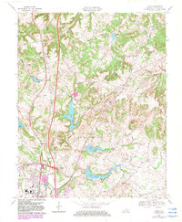
1969 Map of Kelly
USGS Topo · Published 1983About this map
Cavanaugh Hills dominate the northern landscape of this Christian County quadrangle, where the transition from rural Kentucky uplands to the growing edge of Hopkinsville is clearly documented. The southern portion of the map captures the mid-century expansion of the city, including the University of Kentucky Community College campus and the industrial presence of a Filtration Plant and Substation. This era shows a community in flux, as traditional rural landmarks like Blooming Grove Ch and Concord Ch stand alongside the modern engineering of the Pennyrile Parkway and its prominent Tollgate Interchange 12. A string of managed water bodies, including Lake Morris, Lake Tandy, and Lake Boxley, suggest a landscape heavily modified for local utility and recreation. The Seaboard Coast Line tracks parallel the parkway, maintaining the historic rail connection through the village of Kelly.
Find a feature on this map
45 named features on this map. Tap any name to fly to it.
Don’t see what you’re looking for? This feature index may not catch every label — zoom into the map to look around manually.
Map Details
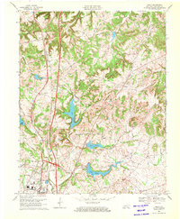
Editions of this 1969 Kelly Map
2 editions found
Other maps of this area

1909 · Dawson Springs
USGS Topo · 1:48,000

1911 · Dawson Springs
USGS Topo · 1:62,500

1912 · Nortonville
USGS Topo · 1:62,500

1950 · Pembroke
USGS Topo · 1:24,000

1951 · Pembroke
USGS Topo · 1:24,000

1951 · Church Hill
USGS Topo · 1:24,000

1951 · Hopkinsville
USGS Topo · 1:24,000

1952 · Pleasant Green Hill
USGS Topo · 1:24,000

1952 · Kelly
USGS Topo · 1:24,000

1952 · Honey Grove
USGS Topo · 1:24,000