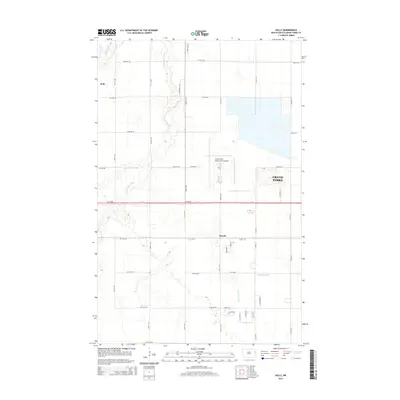
2014 Map of Kelly
USGS Topo · Published 2014About this map
Kelly Slough and the surrounding Red River Valley plains characterize this portion of Grand Forks County during the early 21st century. The map centers on the small settlements of Kelly and Powell, which sit amidst a grid of agricultural section lines and drainage features such as Salt Water Coulee and Fresh Water Coulee. This landscape illustrates the intersection of traditional prairie agriculture and modern infrastructure, dominated by the sprawling footprint of the Grand Forks International Airport. Urban expansion from the city of Grand Forks is visible on the eastern edge of the sheet, where residential streets and industrial tracts begin to replace the open fields. Hydrological features like English Coulee trace the natural drainage patterns that have dictated the region's development since its earliest homesteading days.
Find a feature on this map
45 named features on this map. Tap any name to fly to it.
Don’t see what you’re looking for? This feature index may not catch every label — zoom into the map to look around manually.
Map Details
Editions of this 2014 Kelly Map
This is the sole edition of this map. No revisions or reprints were ever made.
Other maps of this area

1926 · Ardoch
USGS Topo · 1:62,500

1934 · Emerado
USGS Topo · 1:48,000

1934 · Grand Forks
USGS Topo · 1:24,000

1934 · Grand Forks
USGS Topo · 1:62,500

1936 · Emerado
USGS Topo · 1:62,500

1938 · Grand Forks
USGS Topo · 1:62,500

1952 · Grand Forks
USGS Topo · 1:250,000

1952 · Thief River Falls
USGS Topo · 1:250,000

1956 · Thief River Falls
USGS Topo · 1:250,000

1956 · Grand Forks
USGS Topo · 1:250,000