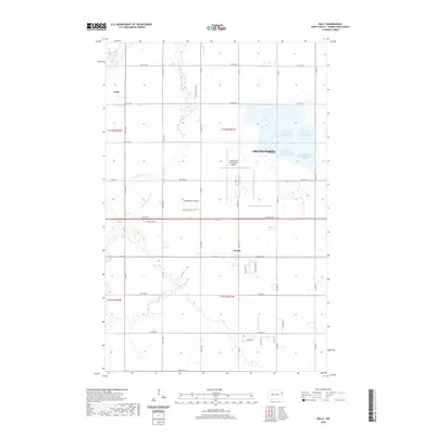
2020 Map of Kelly
USGS Topo · Published 2020About this map
Grand Forks International Airport and its expansive runway system dominate the central landscape of this Red River Valley quadrangle. The area showcases the transition from the municipal operations of Grand Forks to the surrounding agricultural prairie. To the north and west of the city, unique hydrological features including Kelly Slough, Salt Water Coulee, and Fresh Water Coulee wind through the flat terrain, highlighting the complex drainage patterns of the region.
Find a feature on this map
33 named features on this map. Tap any name to fly to it.
Don’t see what you’re looking for? This feature index may not catch every label — zoom into the map to look around manually.
Map Details
Editions of this 2020 Kelly Map
This is the sole edition of this map. No revisions or reprints were ever made.
Other maps of this area

1926 · Ardoch
USGS Topo · 1:62,500

1934 · Emerado
USGS Topo · 1:48,000

1934 · Grand Forks
USGS Topo · 1:24,000

1934 · Grand Forks
USGS Topo · 1:62,500

1936 · Emerado
USGS Topo · 1:62,500

1938 · Grand Forks
USGS Topo · 1:62,500

1952 · Grand Forks
USGS Topo · 1:250,000

1952 · Thief River Falls
USGS Topo · 1:250,000

1956 · Thief River Falls
USGS Topo · 1:250,000

1956 · Grand Forks
USGS Topo · 1:250,000