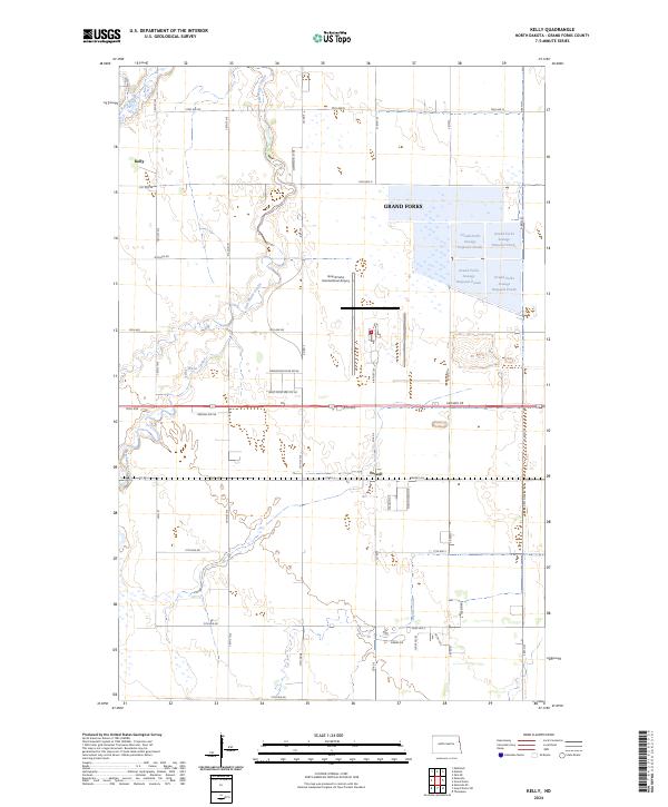
2024 Map of Kelly
USGS Topo · Published 2024About this map
Kellys Slough National Wildlife Refuge and the Grand Forks County Waterfowl Production Area dominate the northwestern landscape of this modern North Dakota survey. The region is defined by its complex drainage network, where Kelly Slough and the winding channels of Salt Water Coulee and Fresh Water Coulee cut through the flat terrain west of the city. The small settlements of Kelly and Powell serve as local anchors along the grid of section roads.
Find a feature on this map
40 named features on this map. Tap any name to fly to it.
Don’t see what you’re looking for? This feature index may not catch every label — zoom into the map to look around manually.
Map Details
Editions of this 2024 Kelly Map
This is the sole edition of this map. No revisions or reprints were ever made.
Other maps of this area
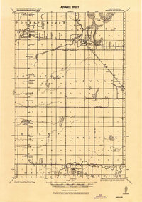
1926 · Ardoch
USGS Topo · 1:62,500
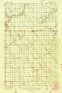
1934 · Emerado
USGS Topo · 1:48,000
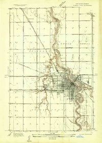
1934 · Grand Forks
USGS Topo · 1:24,000
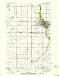
1934 · Grand Forks
USGS Topo · 1:62,500
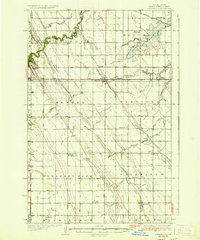
1936 · Emerado
USGS Topo · 1:62,500
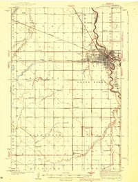
1938 · Grand Forks
USGS Topo · 1:62,500

1952 · Grand Forks
USGS Topo · 1:250,000
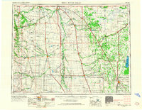
1952 · Thief River Falls
USGS Topo · 1:250,000
1956 · Thief River Falls
USGS Topo · 1:250,000

1956 · Grand Forks
USGS Topo · 1:250,000