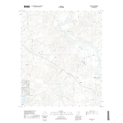
2019 Map of Kellyville
USGS Topo · Published 2019About this map
Black Cypress Bayou meanders through the eastern wetlands of Marion County, defining a landscape shaped by the significant reach of Lake O' the Pines and its surrounding tributaries. This 2019 survey captures the transition between the water-rich bottomlands and the small upland communities like Kellyville and Berea. The area is characterized by its complex network of rural roads and water bodies, including Lake By-Heck and Sarber Lake. Genealogists and local historians will find value in the clear documentation of several family and community burial grounds, such as Beamer-Davis Cem, Valley Plains Cem, and Webb Cem. The map provides a contemporary view of the region's geography just west of Jefferson, showing the enduring settlement patterns around French Cr and Hurricane Cr as they feed into the larger river systems of East Texas.
Find a feature on this map
66 named features on this map. Tap any name to fly to it.
Don’t see what you’re looking for? This feature index may not catch every label — zoom into the map to look around manually.
Map Details
Editions of this 2019 Kellyville Map
This is the sole edition of this map. No revisions or reprints were ever made.
Other maps of this area

1956 · Tyler
USGS Topo · 1:250,000

1961 · Cunningham Creek
USGS Topo · 1:24,000

1961 · Lassater
USGS Topo · 1:24,000

1961 · Harleton
USGS Topo · 1:24,000

1962 · Kellyville
USGS Topo · 1:24,000

1962 · Lanier
USGS Topo · 1:24,000

1962 · Marshall NW
USGS Topo · 1:24,000

1962 · Woodlawn
USGS Topo · 1:24,000

1962 · Jefferson
USGS Topo · 1:24,000

1962 · Avinger
USGS Topo · 1:24,000