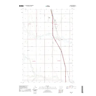
2020 Map of Kelso
USGS Topo · Published 2020About this map
The Kelso and Alton settlements are situated within the fertile agricultural landscape of Traill County, North Dakota. This modern survey illustrates a region defined by the winding course of the Elm River and its tributaries, including the N Br Elm River and S Br Elm River. These waterways historically shaped the settlement patterns and drainage of the Red River Valley, a legacy continued by the engineered Kelso Floodway designed to manage seasonal overflow. Local history is anchored at the Bohnsack Cem, located west of the central transit corridors. While the landscape remains primarily rural and divided by the Public Land Survey System, the presence of the Hillsboro Municipal Airport in the northern portion of the quadrangle highlights the intersection of traditional prairie farming with modern infrastructure.
Find a feature on this map
28 named features on this map. Tap any name to fly to it.
Don’t see what you’re looking for? This feature index may not catch every label — zoom into the map to look around manually.
Map Details
Editions of this 2020 Kelso Map
This is the sole edition of this map. No revisions or reprints were ever made.
Other maps of this area

1918 · Kelso
USGS Topo · 1:62,500

1918 · Hendrum
USGS Topo · 1:62,500

1943 · Kelso
USGS Topo · 1:62,500

1952 · Grand Forks
USGS Topo · 1:250,000

1956 · Grand Forks
USGS Topo · 1:250,000

1963 · Gardner
USGS Topo · 1:24,000

1963 · Hillsboro
USGS Topo · 1:24,000

1963 · Kelso
USGS Topo · 1:24,000

1963 · Halstad SW
USGS Topo · 1:24,000
1964 · Caledonia
USGS Topo · 1:24,000