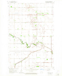
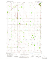
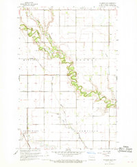
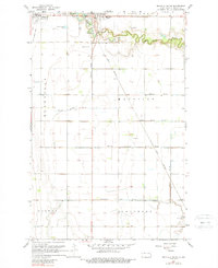
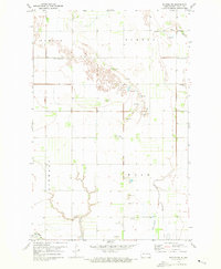
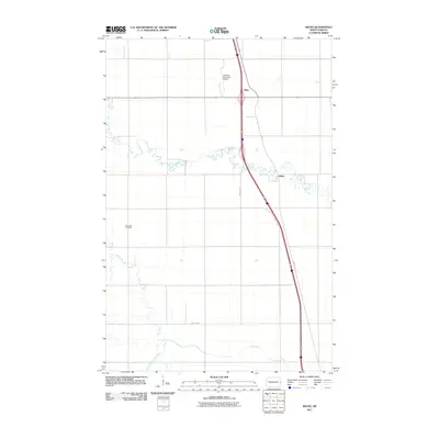
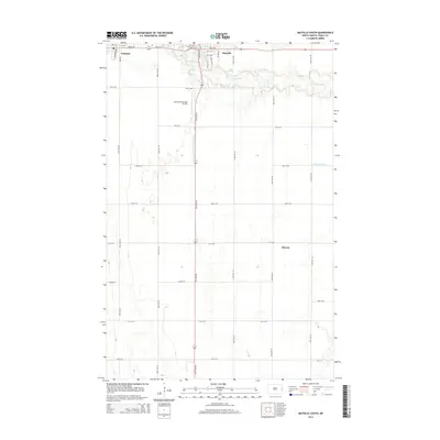
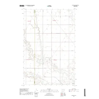
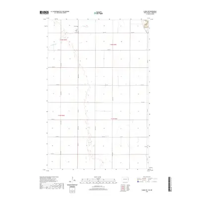
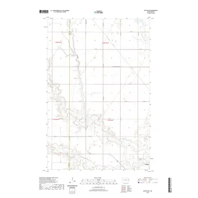
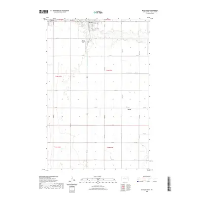
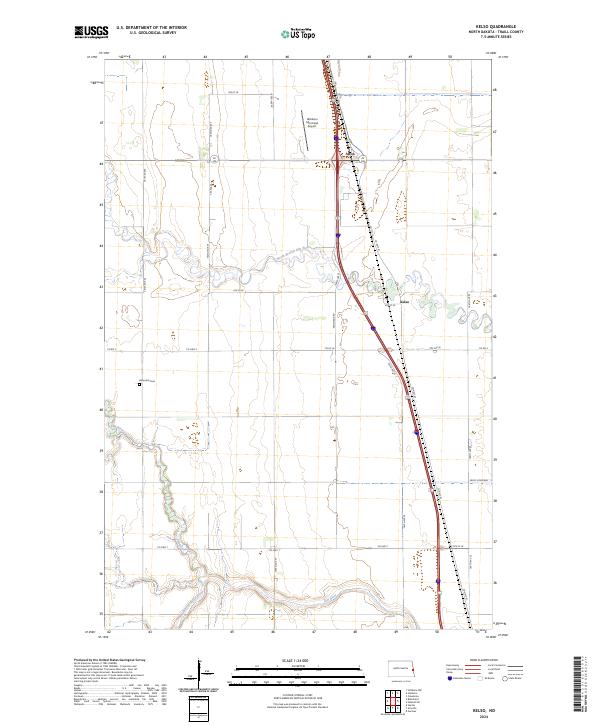
1963 Map of Kelso
USGS Topo · Published 1984About this map
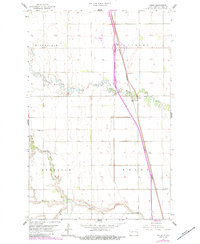
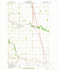
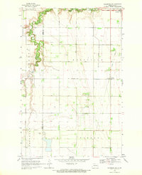
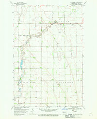
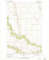
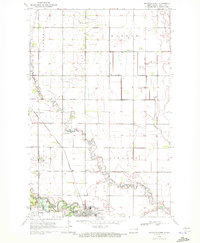
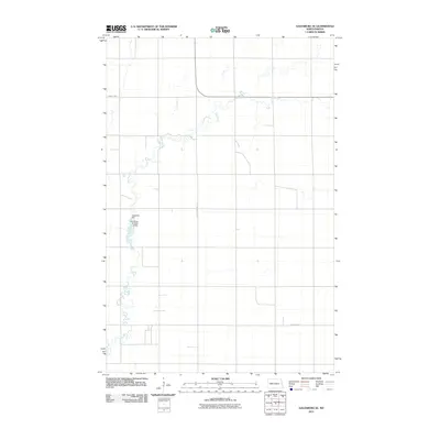
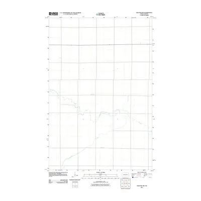
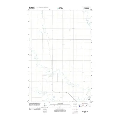
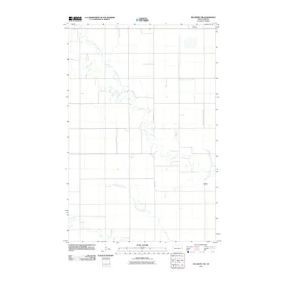
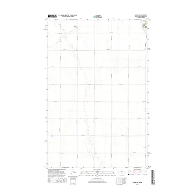
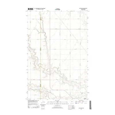
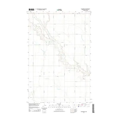
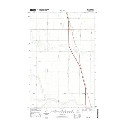
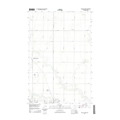
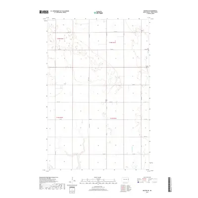
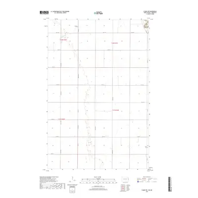
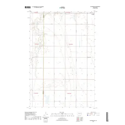
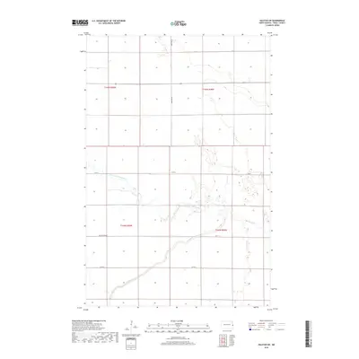
The North Branch Elm River and South Branch Elm River meander through the prairie landscape of Traill County, North Dakota, defining the agricultural and transport patterns of the region. This 1963 survey, updated in the early 1980s, highlights the small settlements of Kelso and Alton situated along the corridor of the Burlington Northern railroad. The land is organized into township boundaries including Bohnsack and Kelso, where the Bohnsack Cem serves as a vital anchor for family historians. Infrastructure for a modernizing farming economy is evident in the presence of the Hillsboro Municipal Airport, a Gaging Station, and scattered Gravel Pits. The map also captures local transit conveniences like the Roadside Park and Rest Area, reflecting the development of regional road networks during this era.
Find a feature on this map
17 named features on this map. Tap any name to fly to it.
Don’t see what you’re looking for? This feature index may not catch every label — zoom into the map to look around manually.
Map Details
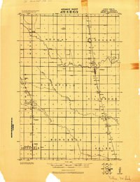
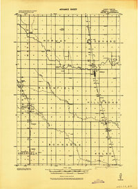
Editions of this 1963 Kelso Map
2 editions found
Historical Maps of Kelso Through Time
63 maps found
1918 Kelso
Traill County, ND

1919 Eldred
Traill County, ND
1943 Kelso
Traill County, ND
1963 Halstad SW
Traill County, ND
1963 Kelso
Traill County, ND
1964 Climax SW
Traill County, ND
1967 Hillsboro NW
Traill County, ND
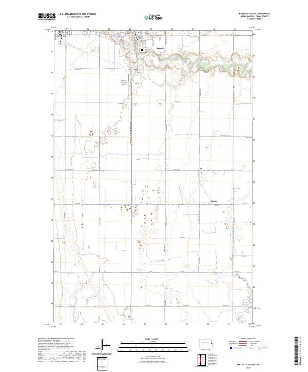
1967 Mayville South
Traill County, ND
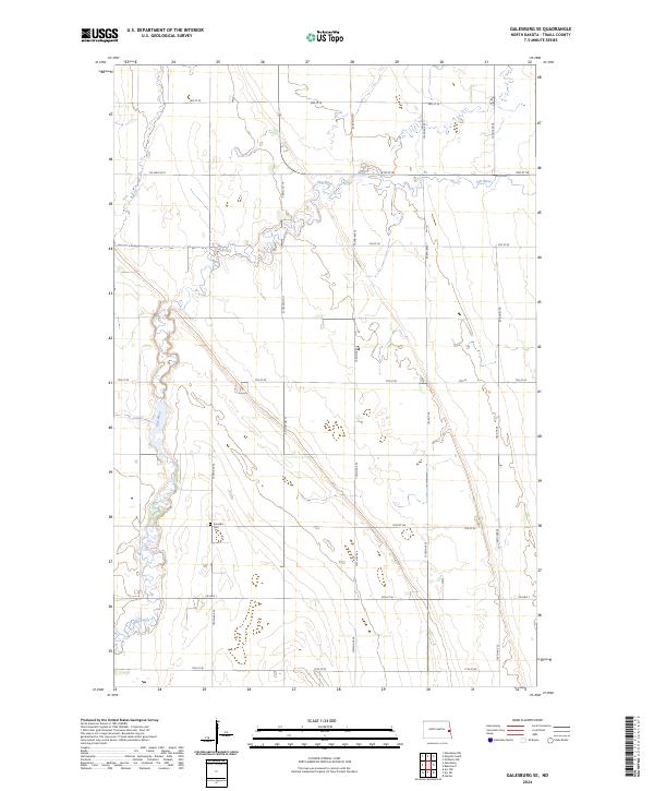
1968 Galesburg NW
Traill County, ND
1968 Galesburg SE
Traill County, ND
1970 Hatton SW
Traill County, ND
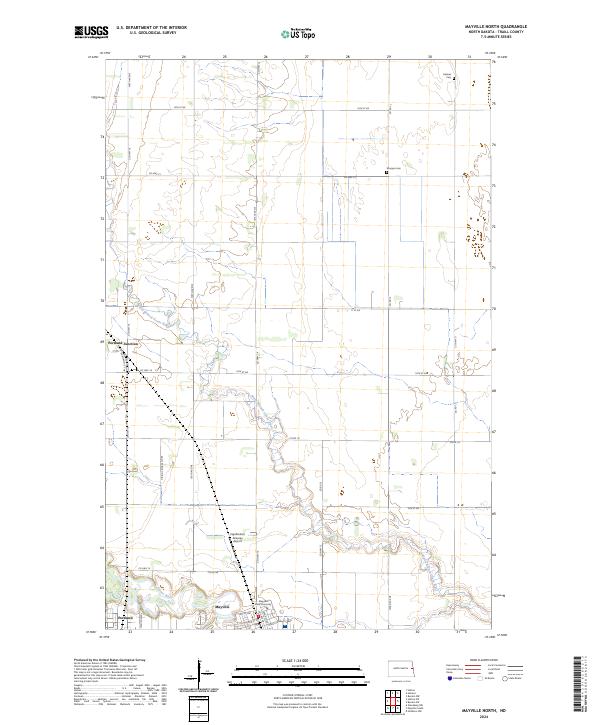
1970 Mayville North
Traill County, ND
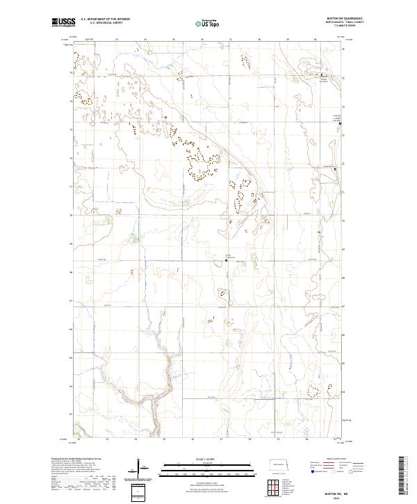
1971 Buxton SW
Traill County, ND
2011 Buxton SW
Traill County, ND
2011 Climax SW
Traill County, ND
2011 Galesburg NW
Traill County, ND
2011 Galesburg SE
Traill County, ND
2011 Halstad SW
Traill County, ND
2011 Hatton SW
Traill County, ND
2011 Hillsboro NW
Traill County, ND
2011 Kelso
Traill County, ND
2011 Mayville North
Traill County, ND
2011 Mayville South
Traill County, ND
2014 Buxton SW
Traill County, ND
2014 Climax SW
Traill County, ND
2014 Galesburg NW
Traill County, ND
2014 Galesburg SE
Traill County, ND
2014 Halstad SW
Traill County, ND
2014 Hatton SW
Traill County, ND
2014 Hillsboro NW
Traill County, ND
2014 Kelso
Traill County, ND
2014 Mayville North
Traill County, ND
2014 Mayville South
Traill County, ND
2017 Galesburg SE
Traill County, ND
2017 Hillsboro NW
Traill County, ND
2017 Mayville South
Traill County, ND
2018 Buxton SW
Traill County, ND
2018 Climax SW
Traill County, ND
2018 Galesburg NW
Traill County, ND
2018 Halstad SW
Traill County, ND
2018 Hatton SW
Traill County, ND
2018 Kelso
Traill County, ND
2018 Mayville North
Traill County, ND
2020 Buxton SW
Traill County, ND
2020 Climax SW
Traill County, ND
2020 Galesburg NW
Traill County, ND
2020 Galesburg SE
Traill County, ND
2020 Halstad SW
Traill County, ND
2020 Hatton SW
Traill County, ND
2020 Hillsboro NW
Traill County, ND
2020 Kelso
Traill County, ND
2020 Mayville North
Traill County, ND
2020 Mayville South
Traill County, ND
2024 Buxton SW
Traill County, ND
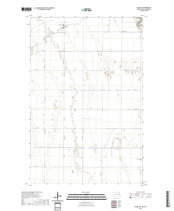
2024 Climax SW
Traill County, ND
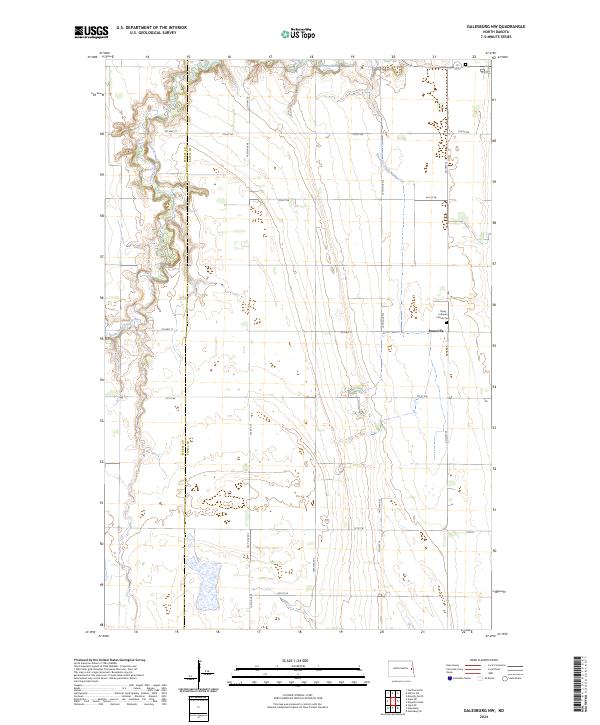
2024 Galesburg NW
Traill County, ND
2024 Galesburg SE
Traill County, ND
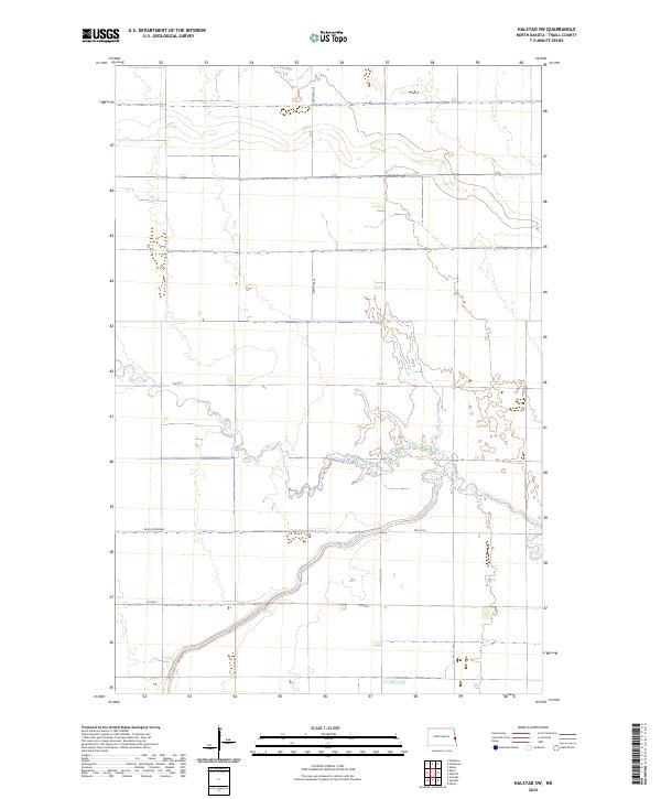
2024 Halstad SW
Traill County, ND
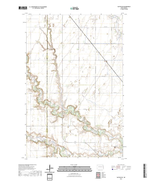
2024 Hatton SW
Traill County, ND
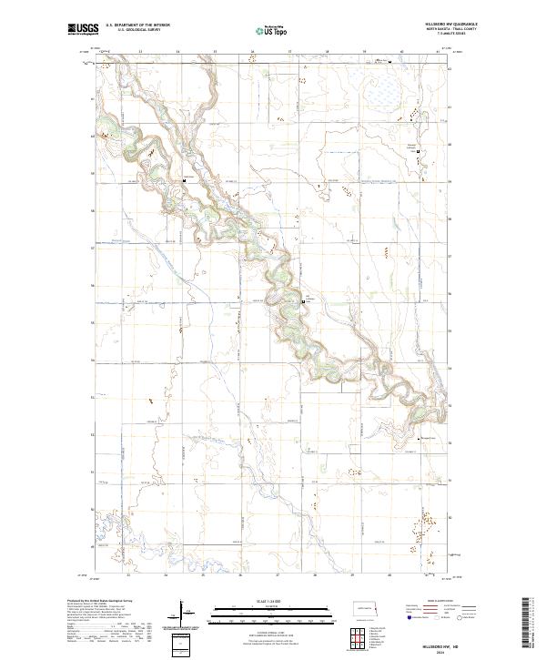
2024 Hillsboro NW
Traill County, ND
2024 Kelso
Traill County, ND
2024 Mayville North
Traill County, ND
2024 Mayville South
Traill County, ND