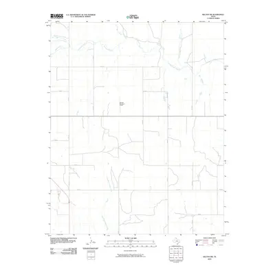
2010 Map of Kelton NW
USGS Topo · Published 2010About this map
Sweetwater Creek winds across this section of the Texas Panhandle, defining the drainage patterns of a landscape marked by a strict section-line road grid. The presence of the Wheeler Municipal Airport near the center of the sheet indicates the area's role as a regional hub for transportation and commerce in Wheeler County. Numerous smaller watercourses, including Jenkins-Jones Creek and East Branch Bronco Creek, carve low-relief drainages through the territory. The map illustrates the late 20th and early 21st-century infrastructure of the region, where Farm to Market roads like FM 2697 and FM 1906 connect the rural ranchlands and agricultural fields to the broader state transport network.
Find a feature on this map
20 named features on this map. Tap any name to fly to it.
Don’t see what you’re looking for? This feature index may not catch every label — zoom into the map to look around manually.
Map Details
Editions of this 2010 Kelton NW Map
This is the sole edition of this map. No revisions or reprints were ever made.
Other maps of this area

1954 · Amarillo
USGS Topo · 1:250,000

1958 · Amarillo
USGS Topo · 1:250,000

1962 · Twitty
USGS Topo · 1:24,000

1962 · Kelton SE
USGS Topo · 1:24,000

1962 · Wheeler
USGS Topo · 1:24,000

1962 · Wheeler SE
USGS Topo · 1:24,000

1963 · Allison
USGS Topo · 1:24,000

1963 · Kelton
USGS Topo · 1:24,000

1963 · Kelton NW
USGS Topo · 1:24,000

1963 · Briscoe
USGS Topo · 1:24,000