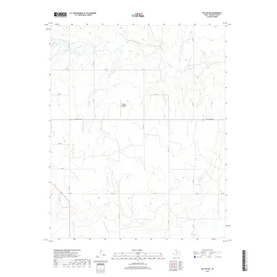
2019 Map of Kelton NW
USGS Topo · Published 2019About this map
Wheeler Municipal Airport sits central to this part of Wheeler County, where the high plains of the Texas Panhandle are deeply etched by a complex network of seasonal creek beds. The drainage pattern here is particularly distinctive, with the broad basin of Sweetwater Creek joined by tributaries like Jenkins-Jones Creek, Goodin Creek, and Silver Creek in the north. This 2019 survey illustrates the intersection of rural aviation and agriculture, with the gridded county road system, including Co RD J and Co RD K, navigating the undulating terrain surrounding East Branch Bronco Creek. The landscape transition from flat tablelands to broken creek country is traced by essential local arteries like East Oklahoma Avenue and the connecting farm-to-market roads FM 1906 and FM 2697.
Find a feature on this map
21 named features on this map. Tap any name to fly to it.
Don’t see what you’re looking for? This feature index may not catch every label — zoom into the map to look around manually.
Map Details
Editions of this 2019 Kelton NW Map
This is the sole edition of this map. No revisions or reprints were ever made.
Other maps of this area

1954 · Amarillo
USGS Topo · 1:250,000

1958 · Amarillo
USGS Topo · 1:250,000

1962 · Twitty
USGS Topo · 1:24,000

1962 · Kelton SE
USGS Topo · 1:24,000

1962 · Wheeler
USGS Topo · 1:24,000

1962 · Wheeler SE
USGS Topo · 1:24,000

1963 · Allison
USGS Topo · 1:24,000

1963 · Kelton
USGS Topo · 1:24,000

1963 · Kelton NW
USGS Topo · 1:24,000

1963 · Briscoe
USGS Topo · 1:24,000