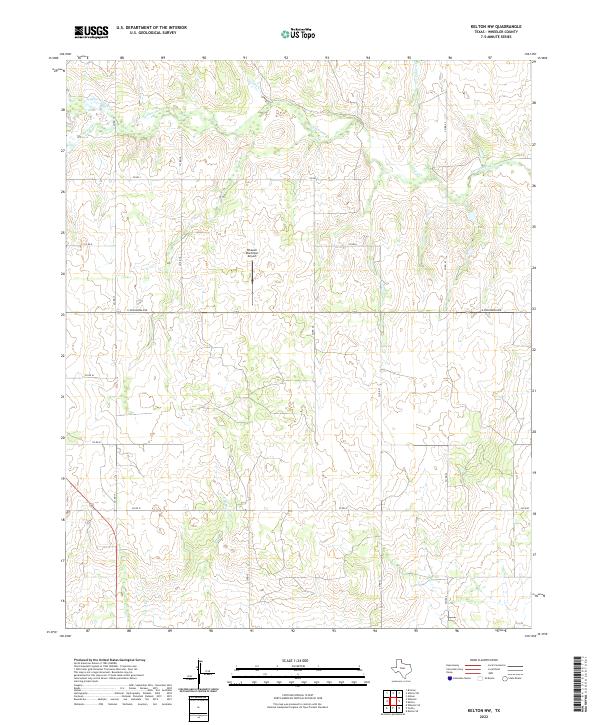
2022 Map of Kelton NW
USGS Topo · Published 2022About this map
Wheeler County's high plains are defined here by a network of drainage basins feeding into the central and northern reaches of this Texas Panhandle landscape. The Wheeler Municipal Airport serves as a modern anchor in an area otherwise characterized by its cattle-ranching layout, with county roads like Co RD 17 and Co RD 22 following the sectional grid. The terrain is deeply incised by the meandering path of Sweetwater Cr, which receives flow from tributaries including Jenkins-Jones Cr and Silver Cr. These watercourses create natural breaks in the flat tableland, while E Br Bronco Cr drains the southern portion of the quadrangle. The map captures the infrastructure of the early 2020s, showing the intersection of rural life and aviation along E Oklahoma Ave.
Find a feature on this map
19 named features on this map. Tap any name to fly to it.
Don’t see what you’re looking for? This feature index may not catch every label — zoom into the map to look around manually.
Map Details
Editions of this 2022 Kelton NW Map
This is the sole edition of this map. No revisions or reprints were ever made.
Other maps of this area

1954 · Amarillo
USGS Topo · 1:250,000

1958 · Amarillo
USGS Topo · 1:250,000

1962 · Twitty
USGS Topo · 1:24,000

1962 · Kelton SE
USGS Topo · 1:24,000

1962 · Wheeler
USGS Topo · 1:24,000

1962 · Wheeler SE
USGS Topo · 1:24,000

1963 · Allison
USGS Topo · 1:24,000

1963 · Kelton
USGS Topo · 1:24,000

1963 · Kelton NW
USGS Topo · 1:24,000

1963 · Briscoe
USGS Topo · 1:24,000