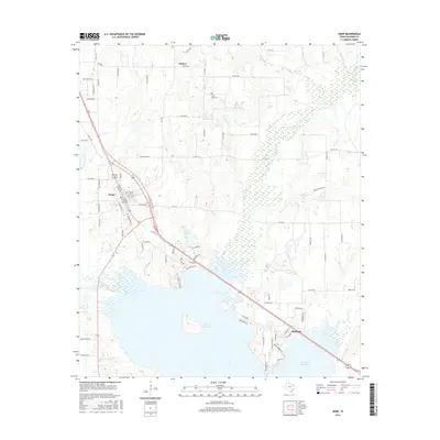
2016 Map of Kemp
USGS Topo · Published 2016About this map
Kemp and Mabank anchor this 2016 survey of the Kaufman County landscape, where the northern reaches of the Cedar Cr Reservoir dominate the southern half of the sheet. The terrain is characterized by a complex drainage system feeding into the reservoir, including Kings Creek, Cedar Cr, and the Lacy Fork. These waterways wind through a mix of developed areas and agricultural land, with Nolan Lake and Kemp Lake providing additional water features north of the primary reservoir.
Find a feature on this map
54 named features on this map. Tap any name to fly to it.
Don’t see what you’re looking for? This feature index may not catch every label — zoom into the map to look around manually.
Map Details
Editions of this 2016 Kemp Map
This is the sole edition of this map. No revisions or reprints were ever made.
Other maps of this area

1920 · Kemp
USGS Topo · 1:62,500

1954 · Dallas
USGS Topo · 1:250,000

1956 · Kaufman
USGS Topo · 1:62,500

1957 · Kemp
USGS Topo · 1:62,500

1958 · Dallas
USGS Topo · 1:250,000

1960 · Tool
USGS Topo · 1:24,000

1960 · Mabank
USGS Topo · 1:24,000

1960 · Grays Prairie
USGS Topo · 1:24,000

1961 · Kemp
USGS Topo · 1:24,000

1962 · Prairieville
USGS Topo · 1:24,000