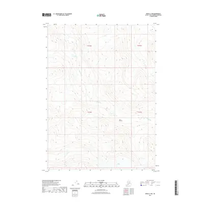
2017 Map of Kenai A-1 NW
USGS Topo · Published 2017About this map
Indian Glacier dominates the southern reaches of this terrain on the Kenai Peninsula, marking a landscape defined by significant glacial and fluvial activity. The map traces the winding course of the Killey River as it moves through the central sections of the quadrangle, fed by high-altitude drainages. In the north, Upper Killey Lake sits as a prominent alpine water body, reflecting the remote and undeveloped nature of this wilderness area in the 21st century. The drainage patterns of Indian Cr further illustrate the complex topography of the region. This survey captures a moment in time where the landscape remains primarily shaped by natural forces, providing an essential record of glacial extent and water courses for environmental researchers and those studying the remote geography of the borough.
Find a feature on this map
9 named features on this map. Tap any name to fly to it.
Don’t see what you’re looking for? This feature index may not catch every label — zoom into the map to look around manually.
Map Details
Editions of this 2017 Kenai A-1 NW Map
This is the sole edition of this map. No revisions or reprints were ever made.
Other maps of this area

1944 · Kenai
USGS Topo · 1:250,000

1950 · Kenai
USGS Topo · 1:250,000

1950 · Kenai B-1
USGS Topo · 1:63,360

1951 · Kenai B-2
USGS Topo · 1:63,360

1951 · Kenai A-2
USGS Topo · 1:63,360

1951 · Kenai A-1
USGS Topo · 1:63,360

1952 · Kenai B-2
USGS Topo · 1:63,360

1952 · Kenai A-1
USGS Topo · 1:63,360

1952 · Kenai B-1
USGS Topo · 1:63,360

1952 · Kenai A-2
USGS Topo · 1:63,360