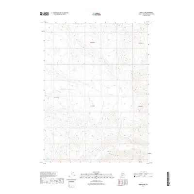
2017 Map of Kenai A-2 NE
USGS Topo · Published 2017About this map
Funny River winds through the heart of this Kenai Peninsula landscape, serving as a primary drainage for the surrounding highlands. The terrain is defined by a network of seasonal and perennial streams including Bear Cr, Moose Cr, and Indian Cr, which carve through the elevations of t2n r7w and t1n r7w. To the southwest, Lake Emma sits near the base of the rising topography, providing a distinct water feature amidst the wetlands and forested slopes.
Find a feature on this map
10 named features on this map. Tap any name to fly to it.
Don’t see what you’re looking for? This feature index may not catch every label — zoom into the map to look around manually.
Map Details
Editions of this 2017 Kenai A-2 NE Map
This is the sole edition of this map. No revisions or reprints were ever made.
Other maps of this area

1944 · Kenai
USGS Topo · 1:250,000

1950 · Kenai
USGS Topo · 1:250,000

1950 · Kenai B-1
USGS Topo · 1:63,360

1951 · Kenai B-2
USGS Topo · 1:63,360

1951 · Kenai A-2
USGS Topo · 1:63,360

1951 · Kenai A-1
USGS Topo · 1:63,360

1952 · Kenai B-2
USGS Topo · 1:63,360

1952 · Kenai A-1
USGS Topo · 1:63,360

1952 · Kenai B-1
USGS Topo · 1:63,360

1952 · Kenai A-2
USGS Topo · 1:63,360