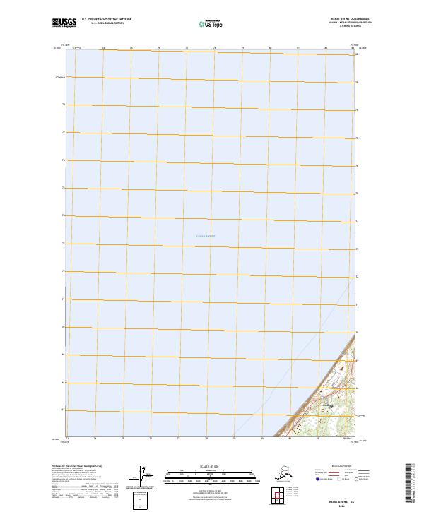
2024 Map of Kenai A-5 NE
USGS Topo · Published 2024About this map
Cook Inlet dominates the western half of this map, meeting the shoreline of the Kenai Peninsula in a sharp coastal boundary. The settlement of Ninilchik sits at the southern edge of this study, positioned where the terrain transitions from the tidal waters to the inland reaches of the peninsula. The local transportation network is centered on the Sterling Highway, which follows the curve of the coast, providing a critical link for the community. The map reveals the relationship between the coastal topography and the established township grids of the Public Land Survey System, specifically within t1s r13w and t1n r13w. Local access into the interior is marked by Cone Bend Road, which branch off the primary highway to serve the residential and commercial areas near the shore.
Find a feature on this map
8 named features on this map. Tap any name to fly to it.
Don’t see what you’re looking for? This feature index may not catch every label — zoom into the map to look around manually.
Map Details
Editions of this 2024 Kenai A-5 NE Map
This is the sole edition of this map. No revisions or reprints were ever made.
Other maps of this area

1944 · Kenai
USGS Topo · 1:250,000

1950 · Kenai
USGS Topo · 1:250,000

1951 · Kenai A-5
USGS Topo · 1:63,360

1951 · Kenai B-4
USGS Topo · 1:63,360

1951 · Kenai A-4
USGS Topo · 1:63,360

1952 · Kenai A-5
USGS Topo · 1:63,360

1952 · Kenai B-4
USGS Topo · 1:63,360

1952 · Kenai A-4
USGS Topo · 1:63,360

1958 · Kenai
USGS Topo · 1:250,000
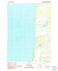
1986 · Kenai B-4 SW
USGS Topo · 1:25,000