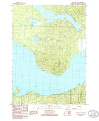
1986 Map of Kenai B-1 NW
USGS Topo · Published 1986About this map
The rugged terrain of the Kenai Peninsula Borough is defined by a series of isolated freshwater bodies, including WL-72t, wl87t, and WL-120t, which dot the northern landscape. This 1986 provisional survey documents a region primarily utilized for recreation and resource extraction, where high points like Henton 478 and Ridley 432 watch over a network of primitive access routes. The map records several established Campgrounds and multiple Boat Ramps, indicating the importance of these lakes for local navigation and subsistence. To the southeast, a lone Cabin sits at the terminus of a trail system, while a Gravel Pit near the western margin provides evidence of small-scale industrial activity. The presence of a Pack Trail and Foot Trail underscores the limited vehicular reach in this part of Alaska during the mid-1980s, preserving a record of a landscape still largely navigated by traditional means.
Find a feature on this map
12 named features on this map. Tap any name to fly to it.
Don’t see what you’re looking for? This feature index may not catch every label — zoom into the map to look around manually.
Map Details
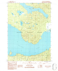
Editions of this 1986 Kenai B-1 NW Map
2 editions found
Other maps of this area

1944 · Kenai
USGS Topo · 1:250,000

1950 · Kenai
USGS Topo · 1:250,000

1950 · Kenai B-1
USGS Topo · 1:63,360

1951 · Kenai B-2
USGS Topo · 1:63,360

1951 · Kenai C-1
USGS Topo · 1:63,360

1951 · Kenai C-2
USGS Topo · 1:63,360

1952 · Kenai C-1
USGS Topo · 1:63,360

1952 · Kenai C-2
USGS Topo · 1:63,360

1952 · Kenai B-2
USGS Topo · 1:63,360

1952 · Kenai B-1
USGS Topo · 1:63,360