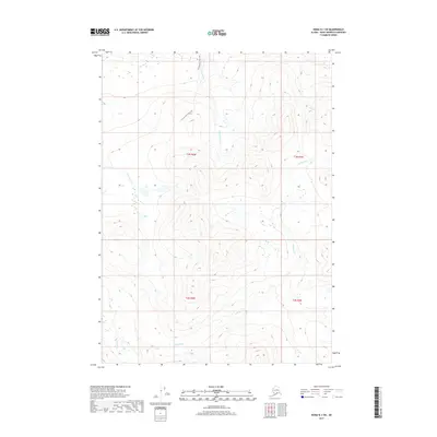
2017 Map of Kenai B-1 SW
USGS Topo · Published 2017About this map
Cottonwood Creek Trail winds through a high-elevation landscape within the Kenai Peninsula, providing a rare marked route through this drainage system. The terrain is defined by the convergence of several significant watercourses, including the south-flowing Cottonwood Creek and the headwaters of Pipe Cr and King County Cr. To the south, the drainage of the Killey River becomes prominent, fed by the wandering course of Benjamin Cr. This 2017 survey illustrates the complex hydrography of the interior peninsula, where steep relief and glacial-fed streams dictate the geography. The absence of modern roads highlights the remote nature of this region, where the historical trail remains a primary point of reference for navigating the high country.
Find a feature on this map
10 named features on this map. Tap any name to fly to it.
Don’t see what you’re looking for? This feature index may not catch every label — zoom into the map to look around manually.
Map Details
Editions of this 2017 Kenai B-1 SW Map
This is the sole edition of this map. No revisions or reprints were ever made.
Other maps of this area

1944 · Kenai
USGS Topo · 1:250,000

1950 · Kenai
USGS Topo · 1:250,000

1950 · Kenai B-1
USGS Topo · 1:63,360

1951 · Kenai B-2
USGS Topo · 1:63,360

1951 · Kenai A-2
USGS Topo · 1:63,360

1951 · Kenai A-1
USGS Topo · 1:63,360

1952 · Kenai B-2
USGS Topo · 1:63,360

1952 · Kenai A-1
USGS Topo · 1:63,360

1952 · Kenai B-1
USGS Topo · 1:63,360

1952 · Kenai A-2
USGS Topo · 1:63,360