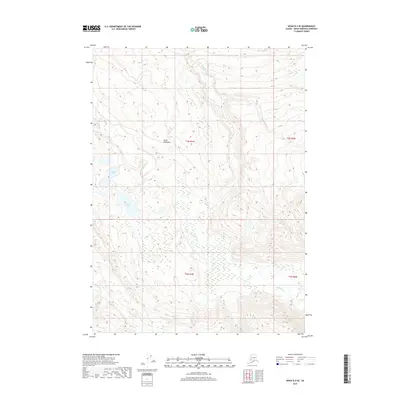
2017 Map of Kenai B-2 SE
USGS Topo · Published 2017About this map
The Killey River and Funny River dominate this interior portion of the Kenai Peninsula, where the landscape is defined by complex glacial drainages and extensive wetland systems. This 2017 survey illustrates the intricate network of water bodies, including Round Lake and Harvey Lake, which are situated among the varying elevations of the peninsula's highlands. The topographical data reveals the transition between high ridges and the lower river valleys, offering insight into the natural corridors that have historically shaped movement through this region of Alaska. Free of significant human development or road networks, the area remains a study in drainage patterns and pristine terrain, preserved in the township and range grids of t3n r7w and t2n r6w.
Find a feature on this map
9 named features on this map. Tap any name to fly to it.
Don’t see what you’re looking for? This feature index may not catch every label — zoom into the map to look around manually.
Map Details
Editions of this 2017 Kenai B-2 SE Map
This is the sole edition of this map. No revisions or reprints were ever made.
Other maps of this area

1944 · Kenai
USGS Topo · 1:250,000

1950 · Kenai
USGS Topo · 1:250,000

1950 · Kenai B-1
USGS Topo · 1:63,360

1951 · Kenai B-2
USGS Topo · 1:63,360

1951 · Kenai A-2
USGS Topo · 1:63,360

1951 · Kenai A-1
USGS Topo · 1:63,360

1952 · Kenai B-2
USGS Topo · 1:63,360

1952 · Kenai A-1
USGS Topo · 1:63,360

1952 · Kenai B-1
USGS Topo · 1:63,360

1952 · Kenai A-2
USGS Topo · 1:63,360