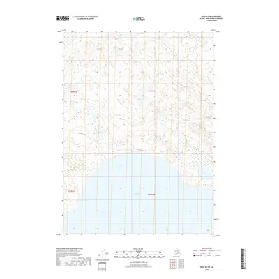
2018 Map of Kenai B-3 SW
USGS Topo · Published 2018About this map
The vast expanse of Tustumena Lake dominates the southern reaches of this landscape on the Kenai Peninsula. To the north, the terrain is defined by a dense network of smaller water bodies including Bay Lake, Trail Lake, and Fox Lake, which are connected by waterways like Shantatalik Cr. This 2018 survey reveals a largely roadless wilderness where human passage is primarily marked by the historic Pollard Horse Trail, which cuts through the central sections of Township 3 North. The map provides a detailed view of the complex hydrography and wetland patterns characteristic of this region before it meets the massive glacial lake at the southern boundary.
Find a feature on this map
10 named features on this map. Tap any name to fly to it.
Don’t see what you’re looking for? This feature index may not catch every label — zoom into the map to look around manually.
Map Details
Editions of this 2018 Kenai B-3 SW Map
This is the sole edition of this map. No revisions or reprints were ever made.
Other maps of this area

1944 · Kenai
USGS Topo · 1:250,000

1950 · Kenai
USGS Topo · 1:250,000

1950 · Kenai B-3
USGS Topo · 1:63,360

1951 · Kenai A-3
USGS Topo · 1:63,360

1951 · Kenai B-4
USGS Topo · 1:63,360

1951 · Kenai A-4
USGS Topo · 1:63,360

1952 · Kenai B-3
USGS Topo · 1:63,360

1952 · Kenai B-4
USGS Topo · 1:63,360

1952 · Kenai A-3
USGS Topo · 1:63,360

1952 · Kenai A-4
USGS Topo · 1:63,360