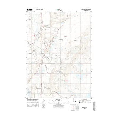
2014 Map of Kenai B-4 SE
USGS Topo · Published 2014About this map
The Kasilof River winds through this coastal region of the Kenai Peninsula, anchoring a landscape defined by its riparian access and aviation infrastructure. The settlement of Kasilof sits near the river's bend, where the Sterling Highway serves as the primary corridor for local transit. This 2014 survey documents a specialized transportation network, including the Kasilof Airport and the Encelewski Lake Seaplane Base, reflecting the importance of air travel in this part of Alaska.
Find a feature on this map
67 named features on this map. Tap any name to fly to it.
Don’t see what you’re looking for? This feature index may not catch every label — zoom into the map to look around manually.
Map Details
Editions of this 2014 Kenai B-4 SE Map
This is the sole edition of this map. No revisions or reprints were ever made.
Other maps of this area

1944 · Kenai
USGS Topo · 1:250,000

1950 · Kenai
USGS Topo · 1:250,000

1950 · Kenai B-3
USGS Topo · 1:63,360

1951 · Kenai A-3
USGS Topo · 1:63,360

1951 · Kenai B-4
USGS Topo · 1:63,360

1951 · Kenai A-4
USGS Topo · 1:63,360

1952 · Kenai B-3
USGS Topo · 1:63,360

1952 · Kenai B-4
USGS Topo · 1:63,360

1952 · Kenai A-3
USGS Topo · 1:63,360

1952 · Kenai A-4
USGS Topo · 1:63,360