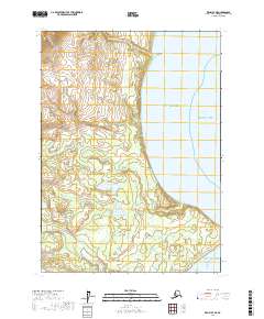
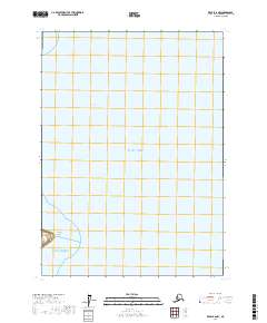
2017 Map of Kenai B-7 NE
USGS Topo · Published 2017About this map
Gulf of Alaska waters meet the rugged shoreline of the Kenai Peninsula in this modern survey, where the Pacific Ocean dominates the eastern half of the sheet. The coastal landscape is defined by its drainage systems, including Katchin Cr and the meandering path of Harriet Cr, which flows toward the tidal flats of Redoubt Bay. Further inland, the terrain is dotted with isolated water bodies such as Bear Lake and Wadell Lake, set against a backdrop of complex contour lines that indicate the varied elevation of the Alaskan wilderness.
Find a feature on this map
15 named features on this map. Tap any name to fly to it.
Don’t see what you’re looking for? This feature index may not catch every label — zoom into the map to look around manually.
Map Details
Editions of this 2017 Kenai B-7 NE Map
This is the sole edition of this map. No revisions or reprints were ever made.
Other maps of this area

1944 · Kenai
USGS Topo · 1:250,000

1950 · Kenai
USGS Topo · 1:250,000

1958 · Kenai B-7
USGS Topo · 1:63,360

1958 · Kenai C-6
USGS Topo · 1:63,360

1958 · Kenai C-7
USGS Topo · 1:63,360
1958 · Kenai B-6
USGS Topo · 1:63,360

1958 · Kenai
USGS Topo · 1:250,000
2017 · Kenai C-6 SW
USGS Topo · 1:25,000
2017 · Kenai C-7 SW
USGS Topo · 1:25,000
2017 · Kenai B-6 NW
USGS Topo · 1:25,000