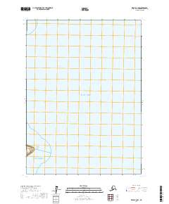
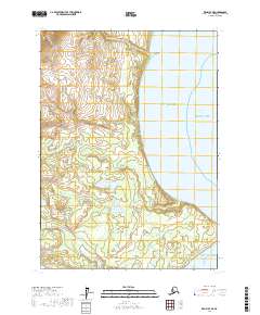
2017 Map of Kenai B-6 NW
USGS Topo · Published 2017About this map
Harriet Point stands as a prominent coastal landmark on the western shore of the Pacific Ocean, marking a distinct geographic transition along the rugged Alaskan coastline. This coastal landscape is defined by the expansive waters of Redoubt Bay and the open Gulf of Alaska, where the shoreline meets the vast maritime reaches of the northern Pacific. The map provides a detailed look at the Public Land Survey System grid across this coastal environment, showing the township and range divisions including t4n r17w and t4n r16w. The intersection of tidal waters and surveying lines reflects the early 21st-century efforts to document this remote maritime frontier. This specific document is vital for understanding the shoreline profile and sea-level interface at Harriet Point during a period of modern geospatial observation.
Find a feature on this map
9 named features on this map. Tap any name to fly to it.
Don’t see what you’re looking for? This feature index may not catch every label — zoom into the map to look around manually.
Map Details
Editions of this 2017 Kenai B-6 NW Map
This is the sole edition of this map. No revisions or reprints were ever made.
Other maps of this area

1944 · Kenai
USGS Topo · 1:250,000

1950 · Kenai
USGS Topo · 1:250,000

1958 · Kenai B-7
USGS Topo · 1:63,360

1958 · Kenai C-6
USGS Topo · 1:63,360

1958 · Kenai C-7
USGS Topo · 1:63,360
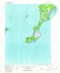
1958 · Kenai B-6
USGS Topo · 1:63,360

1958 · Kenai
USGS Topo · 1:250,000
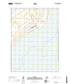
2017 · Kenai C-6 SW
USGS Topo · 1:25,000
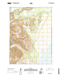
2017 · Kenai C-7 SE
USGS Topo · 1:25,000
2017 · Kenai B-7 NE
USGS Topo · 1:25,000