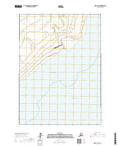
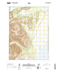
2017 Map of Kenai C-6 SW
USGS Topo · Published 2017About this map
The low-lying coastal marshlands of the Kenai Peninsula meet the sea in this 2017 survey, where the braided channels of the Drift River and Rust Slough define the northern terrain. This specific landscape is dominated by the delta's shifting hydrology, a region of critical importance for local aviation and industrial access. The Drift River Airport sits as a vital outpost on the edge of these wetlands, positioned just above the high-water mark where the river system discharges into the Gulf of Alaska.
Find a feature on this map
9 named features on this map. Tap any name to fly to it.
Don’t see what you’re looking for? This feature index may not catch every label — zoom into the map to look around manually.
Map Details
Editions of this 2017 Kenai C-6 SW Map
This is the sole edition of this map. No revisions or reprints were ever made.
Other maps of this area

1944 · Kenai
USGS Topo · 1:250,000

1950 · Kenai
USGS Topo · 1:250,000

1958 · Kenai B-7
USGS Topo · 1:63,360

1958 · Kenai C-6
USGS Topo · 1:63,360

1958 · Kenai C-7
USGS Topo · 1:63,360
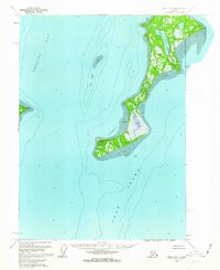
1958 · Kenai B-6
USGS Topo · 1:63,360

1958 · Kenai
USGS Topo · 1:250,000
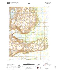
2017 · Kenai C-7 NE
USGS Topo · 1:25,000
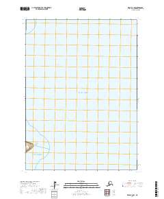
2017 · Kenai B-6 NW
USGS Topo · 1:25,000
2017 · Kenai C-7 SE
USGS Topo · 1:25,000