
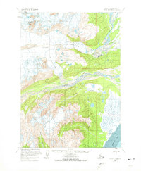
1958 Map of Kenai C-7
USGS Topo · Published 1963About this map
Glacial dynamics and complex drainage systems define this mid-century view of the western Kenai Peninsula. The massive Double Glacier dominates the northern reaches, feeding both the Big River Lobe and the Drift River Lobe. These ice masses transition into braided watercourses, most notably the wide, silty path of the Drift River as it moves toward the coast. Along the eastern shoreline, the landscape flattens into an expansive tidal flat where the river waters meet Redoubt Bay.
Find a feature on this map
14 named features on this map. Tap any name to fly to it.
Don’t see what you’re looking for? This feature index may not catch every label — zoom into the map to look around manually.
Map Details
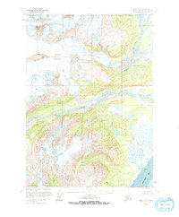
Editions of this 1958 Kenai C-7 Map
3 editions found
Other maps of this area

1944 · Kenai
USGS Topo · 1:250,000

1950 · Kenai
USGS Topo · 1:250,000

1958 · Kenai B-7
USGS Topo · 1:63,360

1958 · Kenai C-6
USGS Topo · 1:63,360

1958 · Kenai B-8
USGS Topo · 1:63,360

1958 · Kenai D-8
USGS Topo · 1:63,360

1958 · Kenai D-6
USGS Topo · 1:63,360

1958 · Kenai C-8
USGS Topo · 1:63,360

1958 · Kenai D-7
USGS Topo · 1:63,360
1958 · Kenai B-6
USGS Topo · 1:63,360