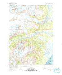
1958 Map of Kenai C-7
USGS Topo · Published 1973About this map
Double Glacier dominates the upper elevations of this terrain on the western side of the Kenai Peninsula, where the icy mass splits into the Big River Lobe and the Drift River Lobe. This 1950s survey shows the dramatic movement of ice toward the coastal lowlands, feeding significant water systems including the Drift River and the South Fork Big River. Near the shoreline of Redoubt Bay, the landscape transitions into complex drainage patterns and marshy reaches. Significant tidal activity is evident near the mouth of Cannery Creek and Little Jack Slough, where a broad Tidal Flat meets the saltwater. The map provides a look at the natural drainage of the region before any major human infrastructure or development reached this part of the peninsula, centered around prominent landmarks like Double Peak.
Find a feature on this map
15 named features on this map. Tap any name to fly to it.
Don’t see what you’re looking for? This feature index may not catch every label — zoom into the map to look around manually.
Map Details
Editions of this 1958 Kenai C-7 Map
3 editions found
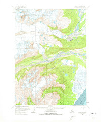
Other maps of this area

1944 · Kenai
USGS Topo · 1:250,000

1950 · Kenai
USGS Topo · 1:250,000

1958 · Kenai B-7
USGS Topo · 1:63,360

1958 · Kenai C-6
USGS Topo · 1:63,360

1958 · Kenai B-8
USGS Topo · 1:63,360

1958 · Kenai D-8
USGS Topo · 1:63,360

1958 · Kenai D-6
USGS Topo · 1:63,360

1958 · Kenai C-8
USGS Topo · 1:63,360

1958 · Kenai D-7
USGS Topo · 1:63,360

1958 · Kenai C-7
USGS Topo · 1:63,360