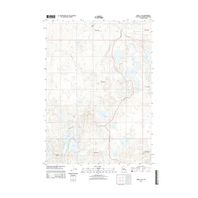
2014 Map of Kenai C-3 NE
USGS Topo · Published 2014About this map
The Swanson River Oil Field occupies the northern reaches of this landscape, marking a significant industrial presence on the Kenai Peninsula during the early 21st century. The Swanson River meanders through a dense network of water bodies, including Rainbow Lake, Hungry Lake, and Dolly Varden Lake. This intricate aquatic system is punctuated by uniquely named features such as Quake Lake and Mosquito Lake, reflecting the local environment. Access through this wilderness is provided by several key routes, including Swanson River Road and Finger Lakes Road, which navigate between the many Finger Lakes, such as South Finger Lake and Middle Finger Lake. The map reveals a land defined by its transition from industrial extraction at the oil field to the complex wetland and lake systems that characterize this portion of the peninsula.
Find a feature on this map
39 named features on this map. Tap any name to fly to it.
Don’t see what you’re looking for? This feature index may not catch every label — zoom into the map to look around manually.
Map Details
Editions of this 2014 Kenai C-3 NE Map
This is the sole edition of this map. No revisions or reprints were ever made.
Other maps of this area

1944 · Kenai
USGS Topo · 1:250,000

1950 · Kenai
USGS Topo · 1:250,000

1950 · Kenai C-3
USGS Topo · 1:63,360

1951 · Kenai D-3
USGS Topo · 1:63,360

1951 · Kenai C-2
USGS Topo · 1:63,360

1951 · Kenai D-2
USGS Topo · 1:63,360

1951 · Kenai C-3
USGS Topo · 1:63,360

1952 · Kenai D-3
USGS Topo · 1:63,360

1952 · Kenai D-2
USGS Topo · 1:63,360

1952 · Kenai C-2
USGS Topo · 1:63,360