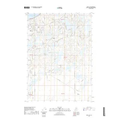
2018 Map of Kenai C-4 NE
USGS Topo · Published 2018About this map
Nikiski serves as the primary hub of this industrial and aviation-focused landscape on the Kenai Peninsula, where the Pacific Ocean meets Nikiski Bay. The region is defined by a dense network of local roads and several key transportation installations, including the McGahan Industrial Airpark and Butler Aviation Airport. These features, along with Carly's Airstrip, highlight the area's reliance on air travel for connectivity within the remote Alaskan terrain.
Find a feature on this map
118 named features on this map. Tap any name to fly to it.
Don’t see what you’re looking for? This feature index may not catch every label — zoom into the map to look around manually.
Map Details
Editions of this 2018 Kenai C-4 NE Map
This is the sole edition of this map. No revisions or reprints were ever made.
Other maps of this area

1944 · Kenai
USGS Topo · 1:250,000

1950 · Kenai
USGS Topo · 1:250,000

1950 · Kenai C-3
USGS Topo · 1:63,360

1950 · Kenai D-4
USGS Topo · 1:63,360

1951 · Kenai D-3
USGS Topo · 1:63,360

1951 · Kenai C-4
USGS Topo · 1:63,360

1951 · Kenai C-3
USGS Topo · 1:63,360

1952 · Kenai D-3
USGS Topo · 1:63,360

1952 · Kenai D-4
USGS Topo · 1:63,360

1952 · Kenai C-4
USGS Topo · 1:63,360