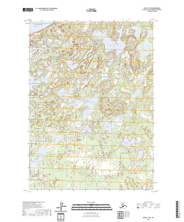
2024 Map of Kenai C-4 NE
USGS Topo · Published 2024About this map
The industrial and residential growth of Nikiski and Salamatof unfolds along the eastern shore of Cook Inlet on this recent survey. The landscape is defined by its aviation infrastructure, featuring several small airfields including the Butler Aviation Airport, Niesen Airstrip, and the Treasure Chest Airport near the southern boundary. These facilities, alongside the McGahan Industrial Airpark, reflect the region's reliance on air transport for industrial and private access.
Find a feature on this map
125 named features on this map. Tap any name to fly to it.
Don’t see what you’re looking for? This feature index may not catch every label — zoom into the map to look around manually.
Map Details
Editions of this 2024 Kenai C-4 NE Map
This is the sole edition of this map. No revisions or reprints were ever made.
Other maps of this area

1944 · Kenai
USGS Topo · 1:250,000

1950 · Kenai
USGS Topo · 1:250,000

1950 · Kenai C-3
USGS Topo · 1:63,360

1950 · Kenai D-4
USGS Topo · 1:63,360

1951 · Kenai D-3
USGS Topo · 1:63,360

1951 · Kenai C-4
USGS Topo · 1:63,360

1951 · Kenai C-3
USGS Topo · 1:63,360

1952 · Kenai D-3
USGS Topo · 1:63,360

1952 · Kenai D-4
USGS Topo · 1:63,360

1952 · Kenai C-4
USGS Topo · 1:63,360