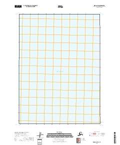
2018 Map of Kenai C-5 SW
USGS Topo · Published 2018About this map
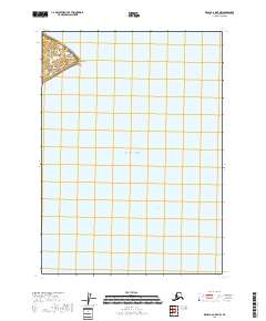
Pacific Ocean waters dominate this coastal portion of the Kenai Peninsula, where the expanse of the sea meets the surveyed lines of the Public Land Survey System. The map specifically details a maritime and shoreline area defined by the grid of T5n R15w, with several sections plotted along the western edge of the sheet. As a 2018 survey, it provides a look at the modern coastal boundaries of this Alaskan region, capturing the relationship between the open ocean and the subdivided land parcels of the peninsula. The absence of developed settlements or named landmarks in this particular quadrangle underscores the undeveloped and natural state of this coastal section.
Find a feature on this map
12 named features on this map. Tap any name to fly to it.
Don’t see what you’re looking for? This feature index may not catch every label — zoom into the map to look around manually.
Map Details
Editions of this 2018 Kenai C-5 SW Map
This is the sole edition of this map. No revisions or reprints were ever made.
Other maps of this area

1944 · Kenai
USGS Topo · 1:250,000

1950 · Kenai
USGS Topo · 1:250,000

1958 · Kenai C-5
USGS Topo · 1:63,360

1958 · Kenai C-6
USGS Topo · 1:63,360
1958 · Kenai B-6
USGS Topo · 1:63,360

1958 · Kenai
USGS Topo · 1:250,000
2018 · Kenai C-6 SE
USGS Topo · 1:25,000
2018 · Kenai C-5 NW
USGS Topo · 1:25,000
2018 · Kenai B-6 OE E NW
USGS Topo · 1:25,000
2018 · Kenai C-6 NE
USGS Topo · 1:25,000