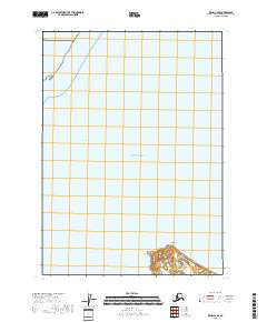
2018 Map of Kenai C-6 SE
USGS Topo · Published 2018About this map
Kalgin Island rises from the waters of the Pacific Ocean in this 2018 survey of the Cook Inlet region. This particular sheet captures the northern tip of the island, specifically Northwest Point, and the surrounding marine environment of Redoubt Bay. The map reveals the township and range divisions of t6n r16w and t5n r15w, which overlay the largely uninhabited coastal terrain and open water. The landscape is characterized by its isolation within the Kenai Peninsula Borough, where the interaction between the land and the vast bay is the primary focus of the geography.
Find a feature on this map
6 named features on this map. Tap any name to fly to it.
Don’t see what you’re looking for? This feature index may not catch every label — zoom into the map to look around manually.
Map Details
Editions of this 2018 Kenai C-6 SE Map
This is the sole edition of this map. No revisions or reprints were ever made.
Other maps of this area

1944 · Kenai
USGS Topo · 1:250,000

1950 · Kenai
USGS Topo · 1:250,000

1958 · Kenai C-5
USGS Topo · 1:63,360

1958 · Kenai C-6
USGS Topo · 1:63,360
1958 · Kenai B-6
USGS Topo · 1:63,360

1958 · Kenai
USGS Topo · 1:250,000
2017 · Kenai C-6 SW
USGS Topo · 1:25,000
2017 · Kenai B-6 NW
USGS Topo · 1:25,000
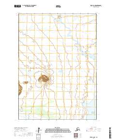
2017 · Kenai C-6 NW
USGS Topo · 1:25,000
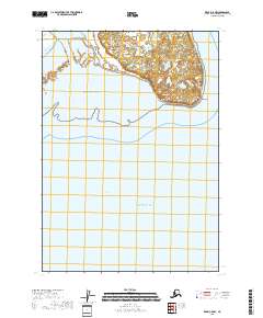
2018 · Kenai C-5 NW
USGS Topo · 1:25,000