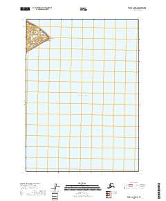
2018 Map of Kenai B-6 OE E NW
USGS Topo · Published 2018About this map
Kalgin Island dominates the northwestern corner of this maritime survey, marking a significant topographical point within the expansive Cook Inlet. The terrain on this portion of the island is defined by the coastal prominence of Light Point, which serves as a critical navigational reference for the surrounding waters of the Pacific Ocean. The map primarily details the aquatic environment and the underwater topography of the inlet, illustrating the vast open waters that define the maritime corridor leading toward Anchorage. While the landmass shown is limited, the inclusion of specific survey townships like t5n,r15w and t4n r15w provides essential data for land claims and coastal management in this remote section of the Kenai Peninsula Borough.
Find a feature on this map
25 named features on this map. Tap any name to fly to it.
Don’t see what you’re looking for? This feature index may not catch every label — zoom into the map to look around manually.
Map Details
Editions of this 2018 Kenai B-6 OE E NW Map
This is the sole edition of this map. No revisions or reprints were ever made.
Other maps of this area

1944 · Kenai
USGS Topo · 1:250,000

1950 · Kenai
USGS Topo · 1:250,000

1958 · Kenai C-5
USGS Topo · 1:63,360

1958 · Kenai C-6
USGS Topo · 1:63,360
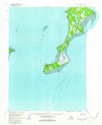
1958 · Kenai B-6
USGS Topo · 1:63,360

1958 · Kenai
USGS Topo · 1:250,000
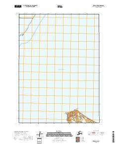
2018 · Kenai C-6 SE
USGS Topo · 1:25,000
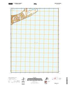
2018 · Kenai B-6 SE
USGS Topo · 1:25,000
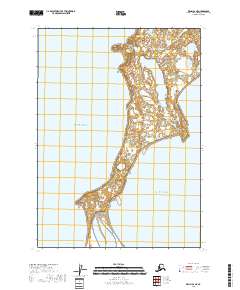
2018 · Kenai B-6 NE
USGS Topo · 1:25,000
2018 · Kenai C-5 SW
USGS Topo · 1:25,000