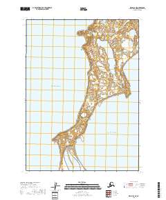
2018 Map of Kenai B-6 NE
USGS Topo · Published 2018About this map
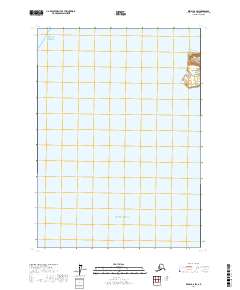
Kalgin Island dominates the center of this 2018 survey, situated within the Cook Inlet waters of the Pacific Ocean. This isolated landmass is characterized by its intricate wetland systems and coastal geography, featuring prominent indentations such as Cobbs Cove to the north and the sweeping curve of Oldmans Bay at its southwestern tip. The interior of the island contains significant freshwater features, most notably Packers Creek Lake, which feeds into Packers Cr. The map provides a precise look at the township and range lines, including t4n r15w and t5n r15w, which grid the island's terrain. The absence of roads or established settlements highlights the remote, maritime character of this part of the Kenai Peninsula Borough, where the landscape remains shaped primarily by its hydrography and tidal reaches.
Find a feature on this map
11 named features on this map. Tap any name to fly to it.
Don’t see what you’re looking for? This feature index may not catch every label — zoom into the map to look around manually.
Map Details
Editions of this 2018 Kenai B-6 NE Map
This is the sole edition of this map. No revisions or reprints were ever made.
Other maps of this area

1944 · Kenai
USGS Topo · 1:250,000

1950 · Kenai
USGS Topo · 1:250,000

1958 · Kenai C-5
USGS Topo · 1:63,360

1958 · Kenai C-6
USGS Topo · 1:63,360
1958 · Kenai B-6
USGS Topo · 1:63,360

1958 · Kenai
USGS Topo · 1:250,000
2017 · Kenai C-6 SW
USGS Topo · 1:25,000
2017 · Kenai B-6 NW
USGS Topo · 1:25,000
2017 · Kenai B-6 SW
USGS Topo · 1:25,000
2018 · Kenai C-6 SE
USGS Topo · 1:25,000