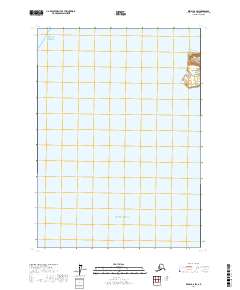
2017 Map of Kenai B-6 SW
USGS Topo · Published 2017About this map
Kalgin Island sits at the northern edge of this coastal survey, providing a rare glimpse of land in a quadrangle dominated by open water. Located within the Cook Inlet region, the island's southern terminus is charted here with detailed contouring, showing the coastal elevation before it drops into the surrounding waters. The map effectively bridges two major maritime designations, marking the transition between the Gulf of Alaska to the north and the broader expanse of the Pacific Ocean to the south. While largely offshore, the inclusion of Township 3 North, Range 16 West and 17 West provides the specific Public Land Survey System coordinates essential for maritime navigation and historical land use research in the Kenai Peninsula Borough.
Find a feature on this map
5 named features on this map. Tap any name to fly to it.
Don’t see what you’re looking for? This feature index may not catch every label — zoom into the map to look around manually.
Map Details
Editions of this 2017 Kenai B-6 SW Map
This is the sole edition of this map. No revisions or reprints were ever made.
Other maps of this area

1944 · Kenai
USGS Topo · 1:250,000

1950 · Kenai
USGS Topo · 1:250,000
1958 · Kenai A-7
USGS Topo · 1:63,360

1958 · Kenai B-7
USGS Topo · 1:63,360
1958 · Kenai B-6
USGS Topo · 1:63,360

1958 · Kenai
USGS Topo · 1:250,000
2017 · Kenai B-6 NW
USGS Topo · 1:25,000
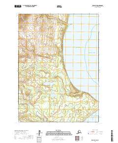
2017 · Kenai B-7 NE
USGS Topo · 1:25,000
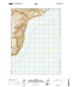
2017 · Kenai B-7 SE
USGS Topo · 1:25,000
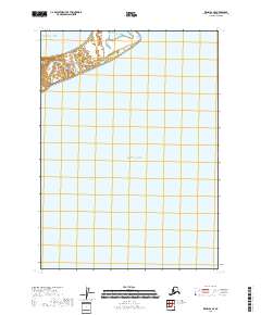
2018 · Kenai B-6 SE
USGS Topo · 1:25,000