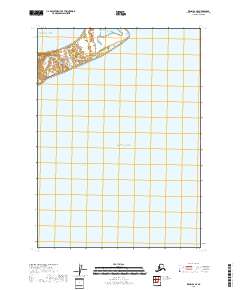
2018 Map of Kenai B-6 SE
USGS Topo · Published 2018About this map
Oldmans Bay and the vast expanse of Cook Inlet dominate this coastal survey of the Kenai Peninsula shoreline. The landscape is defined by its transition from the open waters of the Pacific Ocean to the complex intertidal zones and marshlands characteristic of the region. This 2018 documentation highlights the stark, unpopulated character of the western peninsula, where the survey focuses on the intricate hydrography of the coastline. The map serves as a contemporary record of the shifting boundaries between sea and land, providing a clear view of the navigational landmarks and natural contours of this maritime environment.
Find a feature on this map
5 named features on this map. Tap any name to fly to it.
Don’t see what you’re looking for? This feature index may not catch every label — zoom into the map to look around manually.
Map Details
Editions of this 2018 Kenai B-6 SE Map
This is the sole edition of this map. No revisions or reprints were ever made.
Other maps of this area

1944 · Kenai
USGS Topo · 1:250,000

1950 · Kenai
USGS Topo · 1:250,000

1951 · Kenai A-5
USGS Topo · 1:63,360

1952 · Kenai A-5
USGS Topo · 1:63,360
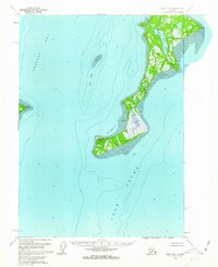
1958 · Kenai B-6
USGS Topo · 1:63,360

1958 · Kenai
USGS Topo · 1:250,000
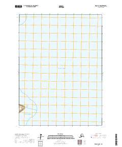
2017 · Kenai B-6 NW
USGS Topo · 1:25,000
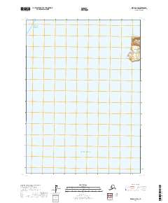
2017 · Kenai B-6 SW
USGS Topo · 1:25,000
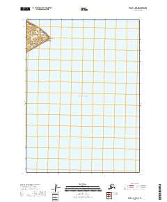
2018 · Kenai B-6 OE E NW
USGS Topo · 1:25,000
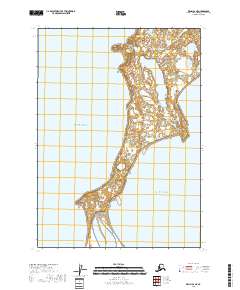
2018 · Kenai B-6 NE
USGS Topo · 1:25,000