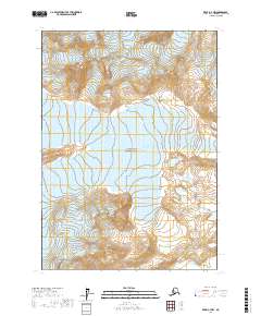
2017 Map of Kenai C-7 NW
USGS Topo · Published 2017About this map
San Antonio and the neighboring community of Saint Leo serve as the focal points of this 1944 survey, situated within Florida's rolling lake country. The map captures the region's agricultural and institutional landscape during the mid-1940s, notably featuring the grounds of Saint Leo College and the surrounding residential clusters. Transportation is defined by the Atlantic Coast Line railroad and the Orange Belt line, which intersect the terrain near Pasadena and West Pasadena. Numerous water bodies characterize the geography, including Lake Jovita, Mirror Lake, Clear Lake, and Lake Moody. Toward the southwest, the small settlement of Darby appears along the rail corridor. The map also identifies local infrastructure such as Ch (churches), Sch (schools), and a Cem (cemetery), providing essential landmarks for genealogical research or historical study of this citrus-growing region of the Florida interior.
Find a feature on this map
10 named features on this map. Tap any name to fly to it.
Don’t see what you’re looking for? This feature index may not catch every label — zoom into the map to look around manually.
Map Details
Editions of this 2017 Kenai C-7 NW Map
This is the sole edition of this map. No revisions or reprints were ever made.
Other maps of this area

1944 · Kenai
USGS Topo · 1:250,000

1950 · Kenai
USGS Topo · 1:250,000

1958 · Kenai D-8
USGS Topo · 1:63,360

1958 · Kenai C-8
USGS Topo · 1:63,360

1958 · Kenai D-7
USGS Topo · 1:63,360

1958 · Kenai C-7
USGS Topo · 1:63,360

1958 · Kenai
USGS Topo · 1:250,000
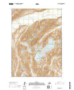
2017 · Kenai C-7 SW
USGS Topo · 1:25,000
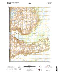
2017 · Kenai C-7 NE
USGS Topo · 1:25,000
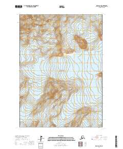
2017 · Kenai C-8 NE
USGS Topo · 1:25,000