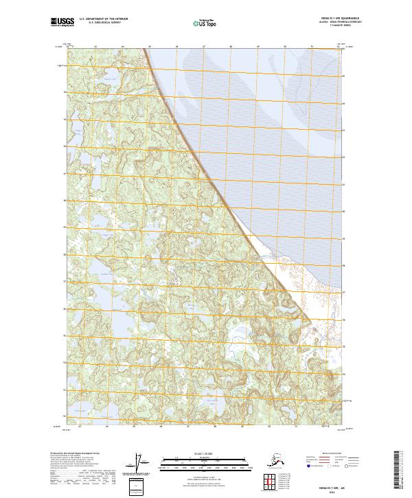
2024 Map of Kenai D-1 NW
USGS Topo · Published 2024About this map
The Kenai Wilderness (Dave Spencer Unit) and the Kenai National Wildlife Refuge dominate this part of the Kenai Peninsula, where a dense network of kettle lakes and streams defines the interior geography. Named water bodies like Dipper Lake, Tangerra Lake, and Bedlam Lake are scattered across a landscape shaped by glacial retreat. The lack of roads or permanent settlements in this 2024 survey emphasizes the area's role as a protected habitat, preserved for wildlife and low-impact backcountry travel. Drainage patterns are complex, with Bedlam Creek and Pincher Creek threading through marshy lowlands and smaller ponds such as Warbler Lake and Two Island Lake. The map provides a contemporary view of the region's hydrography, essential for navigators and conservationists tracking the subtle changes in this roadless wilderness.
Find a feature on this map
18 named features on this map. Tap any name to fly to it.
Don’t see what you’re looking for? This feature index may not catch every label — zoom into the map to look around manually.
Map Details
Editions of this 2024 Kenai D-1 NW Map
This is the sole edition of this map. No revisions or reprints were ever made.
Other maps of this area

1944 · Kenai
USGS Topo · 1:250,000

1949 · Tyonek
USGS Topo · 1:250,000

1950 · Kenai
USGS Topo · 1:250,000

1951 · Tyonek
USGS Topo · 1:250,000

1951 · Kenai D-1
USGS Topo · 1:63,360

1951 · Kenai D-2
USGS Topo · 1:63,360

1951 · Tyonek A-2
USGS Topo · 1:63,360

1951 · Tyonek A-1
USGS Topo · 1:63,360

1952 · Kenai D-2
USGS Topo · 1:63,360

1952 · Tyonek A-2
USGS Topo · 1:63,360