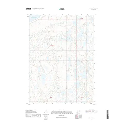
2017 Map of Kenai D-2 NE
USGS Topo · Published 2017About this map
The Pacific Ocean coastline meets the northern shores of the Kenai Peninsula in this 2017 survey, revealing a landscape defined by an intricate network of freshwater lakes and drainage creeks. The terrain is characterized by numerous small bodies of water and wetlands, including Vogel Lake and Cook Lake near the northern boundary. The hydrography of the region is complex, with Miller Cr and Seven Egg Cr providing primary drainage for the surrounding marshy lowlands.
Find a feature on this map
22 named features on this map. Tap any name to fly to it.
Don’t see what you’re looking for? This feature index may not catch every label — zoom into the map to look around manually.
Map Details
Editions of this 2017 Kenai D-2 NE Map
This is the sole edition of this map. No revisions or reprints were ever made.
Other maps of this area

1944 · Kenai
USGS Topo · 1:250,000

1949 · Tyonek
USGS Topo · 1:250,000

1950 · Kenai
USGS Topo · 1:250,000

1951 · Tyonek
USGS Topo · 1:250,000

1951 · Kenai D-1
USGS Topo · 1:63,360

1951 · Kenai D-2
USGS Topo · 1:63,360

1951 · Tyonek A-2
USGS Topo · 1:63,360

1951 · Tyonek A-1
USGS Topo · 1:63,360

1952 · Kenai D-2
USGS Topo · 1:63,360

1952 · Tyonek A-2
USGS Topo · 1:63,360