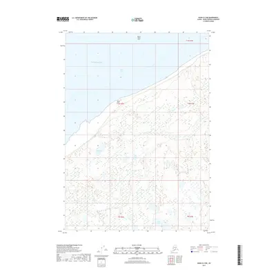
2017 Map of Kenai D-2 NW
USGS Topo · Published 2017About this map
Moose Point sits along the northern edge of the Kenai Peninsula, overlooking the tidal waters of Cook Inlet. This coastal landscape is defined by its complex drainage patterns and marshy lowlands, where Seven Egg Cr and Otter Cr meander through a labyrinth of small unnamed ponds. Inland, the terrain is dotted with larger bodies of water such as Bill Besser Lake and Hook Lake, which serve as significant landmarks in an otherwise low-lying area. The maritime environment is further characterized by the Moose Point Shoal, extending into the Pacific Ocean waters of the inlet. The map detail highlights the intersection of several public land survey townships, including t10n r8w and t10n r7w, illustrating the late-modern administrative grid overlying this natural wilderness.
Find a feature on this map
13 named features on this map. Tap any name to fly to it.
Don’t see what you’re looking for? This feature index may not catch every label — zoom into the map to look around manually.
Map Details
Editions of this 2017 Kenai D-2 NW Map
This is the sole edition of this map. No revisions or reprints were ever made.
Other maps of this area

1944 · Kenai
USGS Topo · 1:250,000

1949 · Tyonek
USGS Topo · 1:250,000

1950 · Kenai
USGS Topo · 1:250,000

1951 · Tyonek
USGS Topo · 1:250,000

1951 · Kenai D-3
USGS Topo · 1:63,360

1951 · Kenai D-2
USGS Topo · 1:63,360

1951 · Tyonek A-2
USGS Topo · 1:63,360

1952 · Kenai D-3
USGS Topo · 1:63,360

1952 · Kenai D-2
USGS Topo · 1:63,360

1952 · Tyonek A-2
USGS Topo · 1:63,360