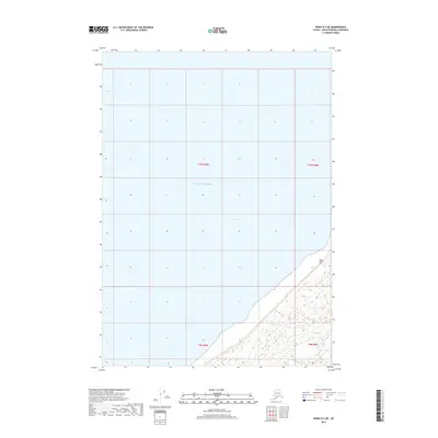
2017 Map of Kenai D-3 NE
USGS Topo · Published 2017About this map
Pacific Ocean waters dominate this 2017 chart, covering the vast majority of the quadrangle as part of the Cook Inlet. The coastal margin is restricted to the southeastern corner, where the shoreline of the Kenai Peninsula meets the inlet. This transition from open water to land is marked by the presence of Birch Hill and the mouth of Otter Cr. The map provides a precise look at the township and range boundaries including t10n r8w and t9n r8w, illustrating how the Public Land Survey System extends across both the coastal terrain and the submerged areas of the inlet. This primarily maritime survey is essential for understanding the coastal geography of the region near the turn of the twenty-first century.
Find a feature on this map
8 named features on this map. Tap any name to fly to it.
Don’t see what you’re looking for? This feature index may not catch every label — zoom into the map to look around manually.
Map Details
Editions of this 2017 Kenai D-3 NE Map
This is the sole edition of this map. No revisions or reprints were ever made.
Other maps of this area

1944 · Kenai
USGS Topo · 1:250,000

1949 · Tyonek
USGS Topo · 1:250,000

1950 · Kenai
USGS Topo · 1:250,000

1951 · Tyonek
USGS Topo · 1:250,000

1951 · Kenai D-3
USGS Topo · 1:63,360

1951 · Kenai D-2
USGS Topo · 1:63,360

1951 · Tyonek A-2
USGS Topo · 1:63,360

1952 · Kenai D-3
USGS Topo · 1:63,360

1952 · Kenai D-2
USGS Topo · 1:63,360

1952 · Tyonek A-2
USGS Topo · 1:63,360