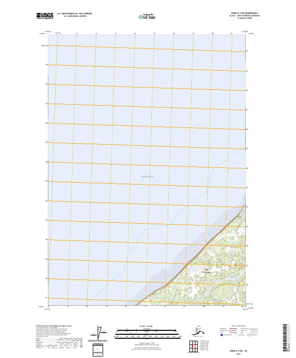
2024 Map of Kenai D-3 NE
USGS Topo · Published 2024About this map
Cook Inlet dominates the northern and western sections of this coastal landscape, meeting the land at Point Possession. This corner of the Kenai Peninsula is characterized by a mix of wetlands and low elevation coastal terrain, with Birch Hill rising as a distinct landform overlooking the water. Much of the terrestrial area is protected within the Kenai National Wildlife Refuge, where Otter Creek drains into the inlet. The map illustrates a largely undisturbed environment on the peninsula's northern tip, where the lack of developed roads suggests a landscape shaped primarily by the tides and natural drainage patterns of the refuge rather than modern infrastructure.
Find a feature on this map
9 named features on this map. Tap any name to fly to it.
Don’t see what you’re looking for? This feature index may not catch every label — zoom into the map to look around manually.
Map Details
Editions of this 2024 Kenai D-3 NE Map
This is the sole edition of this map. No revisions or reprints were ever made.
Other maps of this area

1944 · Kenai
USGS Topo · 1:250,000

1949 · Tyonek
USGS Topo · 1:250,000

1950 · Kenai
USGS Topo · 1:250,000

1951 · Tyonek
USGS Topo · 1:250,000

1951 · Kenai D-3
USGS Topo · 1:63,360

1951 · Kenai D-2
USGS Topo · 1:63,360

1951 · Tyonek A-2
USGS Topo · 1:63,360

1952 · Kenai D-3
USGS Topo · 1:63,360

1952 · Kenai D-2
USGS Topo · 1:63,360

1952 · Tyonek A-2
USGS Topo · 1:63,360