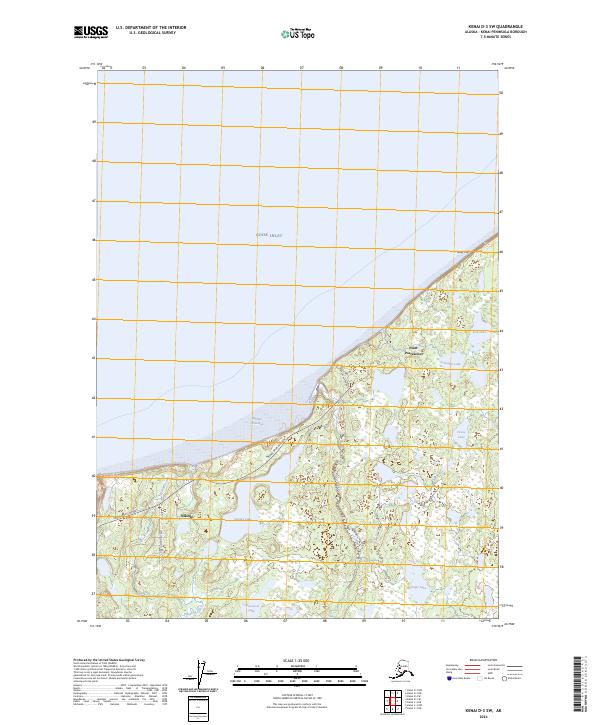
2024 Map of Kenai D-3 SW
USGS Topo · Published 2024About this map
Cook Inlet dominates the northern reaches of this coastal landscape, where the tides meet the rugged bluffs of the Kenai Peninsula. The settlement of Nikiski serves as the primary hub of human activity, situated along the Kenai Spur Highway which traverses the southwest portion of the quadrangle. This area represents a critical intersection of industrial access and wilderness preservation, as a significant portion of the land is designated as part of the Kenai National Wildlife Refuge. The hydrology is particularly intricate, defined by the winding course of the Swanson River and a dense network of freshwater bodies including Stormy Lake, Gooseneck Lake, and Snipe Lake. To the northeast, the shoreline transitions toward Gray Cliff and the prominent landmark of Point Possession, marking a geography shaped by both glacial history and the active currents of the inlet.
Find a feature on this map
21 named features on this map. Tap any name to fly to it.
Don’t see what you’re looking for? This feature index may not catch every label — zoom into the map to look around manually.
Map Details
Editions of this 2024 Kenai D-3 SW Map
This is the sole edition of this map. No revisions or reprints were ever made.
Other maps of this area

1944 · Kenai
USGS Topo · 1:250,000

1950 · Kenai
USGS Topo · 1:250,000

1950 · Kenai C-3
USGS Topo · 1:63,360

1950 · Kenai D-4
USGS Topo · 1:63,360

1951 · Kenai D-3
USGS Topo · 1:63,360

1951 · Kenai C-4
USGS Topo · 1:63,360

1951 · Kenai C-3
USGS Topo · 1:63,360

1952 · Kenai D-3
USGS Topo · 1:63,360

1952 · Kenai D-4
USGS Topo · 1:63,360

1952 · Kenai C-4
USGS Topo · 1:63,360