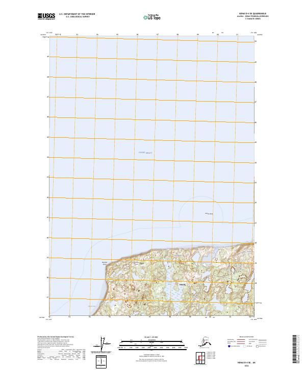
2024 Map of Kenai D-4 SE
USGS Topo · Published 2024About this map
Nikiski occupies the southern shoreline where the Kenai Peninsula meets the waters of Cook Inlet. This modern topographic survey illustrates a transition between the coastal environment and the interior wetlands, characterized by features like Suneva Lake and Cecile Lake. The residential and industrial footprint of the community is anchored by the Kenai Spur Highway, which connects local arteries like Sockeye Avenue and Carlisle Street. Aviation and maritime interests are evident through the presence of High Vista Airport and landmarks along Nikiski Bay such as Boulder Point and Jumbo Rock. The map details a landscape where neighborhood development and natural hydrography intersect, providing a clear record of the area's infrastructure and geography.
Find a feature on this map
21 named features on this map. Tap any name to fly to it.
Don’t see what you’re looking for? This feature index may not catch every label — zoom into the map to look around manually.
Map Details
Editions of this 2024 Kenai D-4 SE Map
This is the sole edition of this map. No revisions or reprints were ever made.
Other maps of this area

1944 · Kenai
USGS Topo · 1:250,000

1950 · Kenai
USGS Topo · 1:250,000

1950 · Kenai C-3
USGS Topo · 1:63,360

1950 · Kenai D-4
USGS Topo · 1:63,360

1951 · Kenai D-3
USGS Topo · 1:63,360

1951 · Kenai C-4
USGS Topo · 1:63,360

1951 · Kenai C-3
USGS Topo · 1:63,360

1952 · Kenai D-3
USGS Topo · 1:63,360

1952 · Kenai D-4
USGS Topo · 1:63,360

1952 · Kenai C-4
USGS Topo · 1:63,360