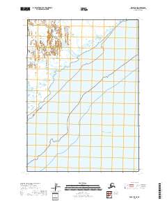
2018 Map of Kenai D-5 NE
USGS Topo · Published 2018About this map
Trading Bay and the surrounding tidal flats define this coastal reach of the Kenai Peninsula, where the waters of the Pacific Ocean meet the intricate drainage systems of the Alaskan mainland. The landscape is dominated by a complex network of estuarine channels, including Middle River, Cottonwood Slough, and Seal Slough. These features illustrate the dynamic nature of the Cook Inlet coastline, where shifting silt and fluctuating tides create a transitional environment between the open sea and the marshy interior. The absence of roads or permanent settlements in this area underscores the isolation of this western peninsula shore, highlighting a landscape shaped almost entirely by natural watercourses and the seasonal pulse of the tide.
Find a feature on this map
10 named features on this map. Tap any name to fly to it.
Don’t see what you’re looking for? This feature index may not catch every label — zoom into the map to look around manually.
Map Details
Editions of this 2018 Kenai D-5 NE Map
This is the sole edition of this map. No revisions or reprints were ever made.
Other maps of this area

1944 · Kenai
USGS Topo · 1:250,000

1949 · Tyonek
USGS Topo · 1:250,000

1950 · Kenai
USGS Topo · 1:250,000

1950 · Kenai D-4
USGS Topo · 1:63,360

1951 · Tyonek
USGS Topo · 1:250,000

1952 · Kenai D-4
USGS Topo · 1:63,360

1958 · Tyonek A-5
USGS Topo · 1:63,360

1958 · Tyonek A-4
USGS Topo · 1:63,360

1958 · Kenai D-5
USGS Topo · 1:63,360

1958 · Tyonek
USGS Topo · 1:250,000