
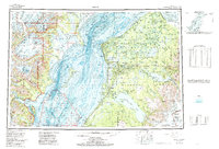
1958 Map of Kenai
USGS Topo · Published 1967About this map
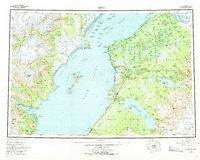
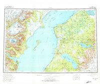
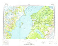
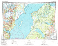
Cook Inlet bisects this mid-century survey, dividing the high peaks of the Chigmit Mountains from the developing settlements and conservation lands of the Kenai Peninsula. On the eastern shore, the Sterling Highway serves as the primary artery connecting coastal villages like Ninilchik and Kasilof to inland hubs such as Soldatna and Sterling. The area is characterized by a mix of military presence at the Wildwood Military Reservation and the extensive protected wilderness of the Kenai National Moose Range.
Find a feature on this map
92 named features on this map. Tap any name to fly to it.
Don’t see what you’re looking for? This feature index may not catch every label — zoom into the map to look around manually.
Map Details
Editions of this 1958 Kenai Map
6 editions found
Other maps of this area

1944 · Kenai
USGS Topo · 1:250,000

1946 · Blying Sound
USGS Topo · 1:250,000

1946 · Lake Clark
USGS Topo · 1:250,000

1946 · Seldovia D-5
USGS Topo · 1:63,360

1949 · Tyonek
USGS Topo · 1:250,000

1949 · Seldovia D-4
USGS Topo · 1:63,360

1950 · Kenai
USGS Topo · 1:250,000

1950 · Kenai C-3
USGS Topo · 1:63,360

1950 · Kenai B-1
USGS Topo · 1:63,360

1950 · Seldovia D-2
USGS Topo · 1:63,360